The nearest working fuel pump to the Cave of Swimmers is in Mut, the main town of Dakhla Oasis, roughly 400 km away with no road in between. That one fact explains almost everything. The Gilf Kebir is not a place you visit; it is a place you mount an expedition to, with a convoy of self-sufficient 4WDs, an Interior Ministry permit and an army officer riding along.
What is at the far end justifies the arithmetic. On the plateau's south-western edge, in a shallow sandstone overhang the Hungarian explorer László Almásy reached in October 1933, small ochre figures float on the rock with their arms swept back and their legs trailing. Ten kilometres west, in a much larger shelter found only in 2002, there are several thousand more: cattle, hunters, hundreds of hand stencils, and headless beasts apparently swallowing people whole.
Both were painted when this corner of the Sahara held standing water and grazing, and both are now among the least-visited and most fragile archaeological sites on the planet.
At a Glance
Location: Egypt's south-west corner, against the Libyan and Sudanese borders
Access point: Dakhla Oasis (Mut), roughly 400 km north-east, open desert the whole way
Trip length: 8 to 12 days typically; published accounts run 7 to 14 days and 2,000 to 3,000 km
Vehicles: never fewer than two 4WDs, realistically three, carrying their own fuel and spares
Permits: an Interior Ministry permit plus military clearance, arranged months ahead through a licensed operator
Season: late October to mid-March, with nights near or below freezing in December and January
Protected status: Gilf Kebir National Park, declared 2007, covering 48,533 km2
Rainfall: effectively nil, cited at under 0.1 mm a year
Phone signal: none; a satellite phone is standard kit
How Big the Gilf Kebir Really Is
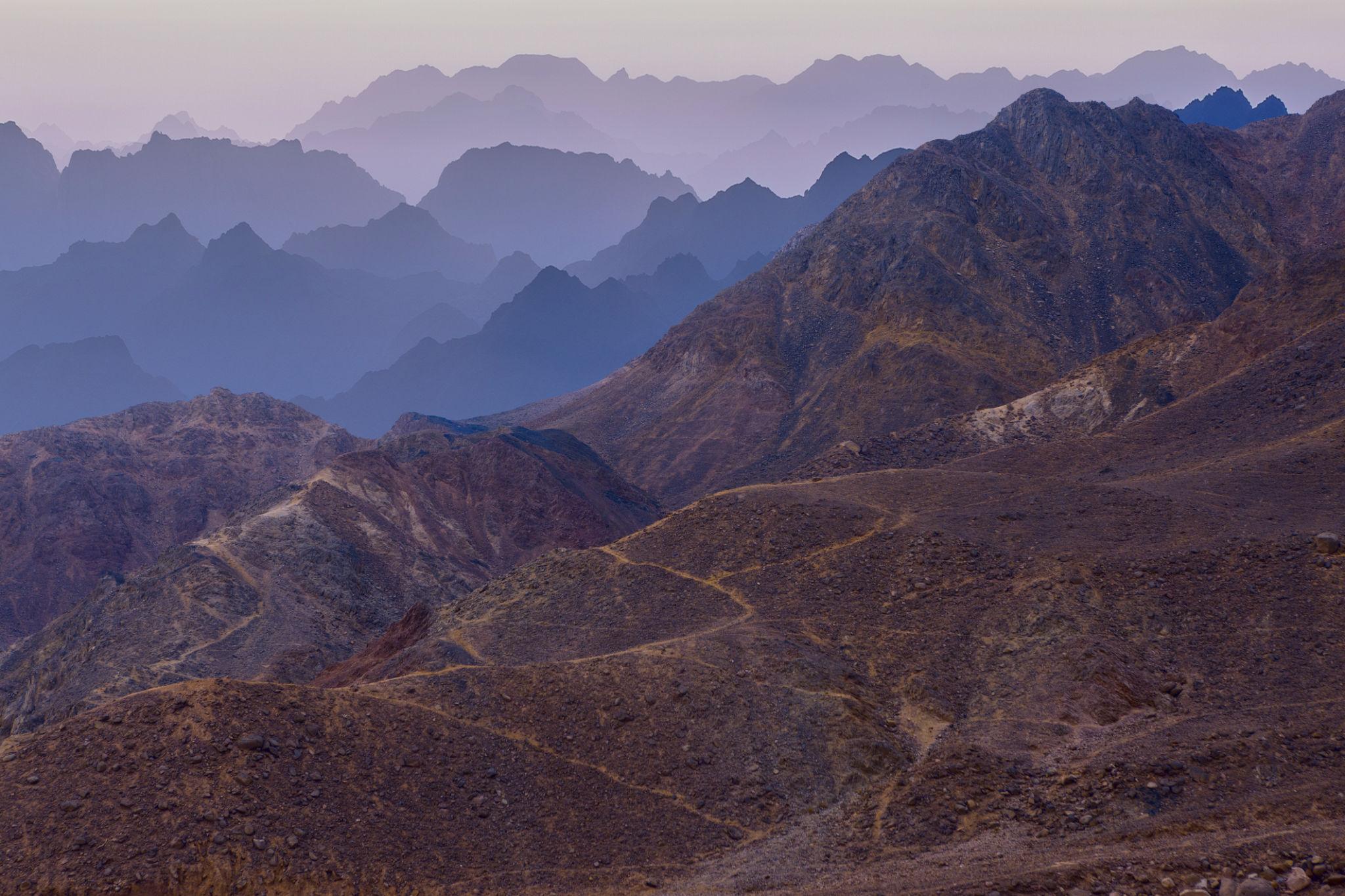
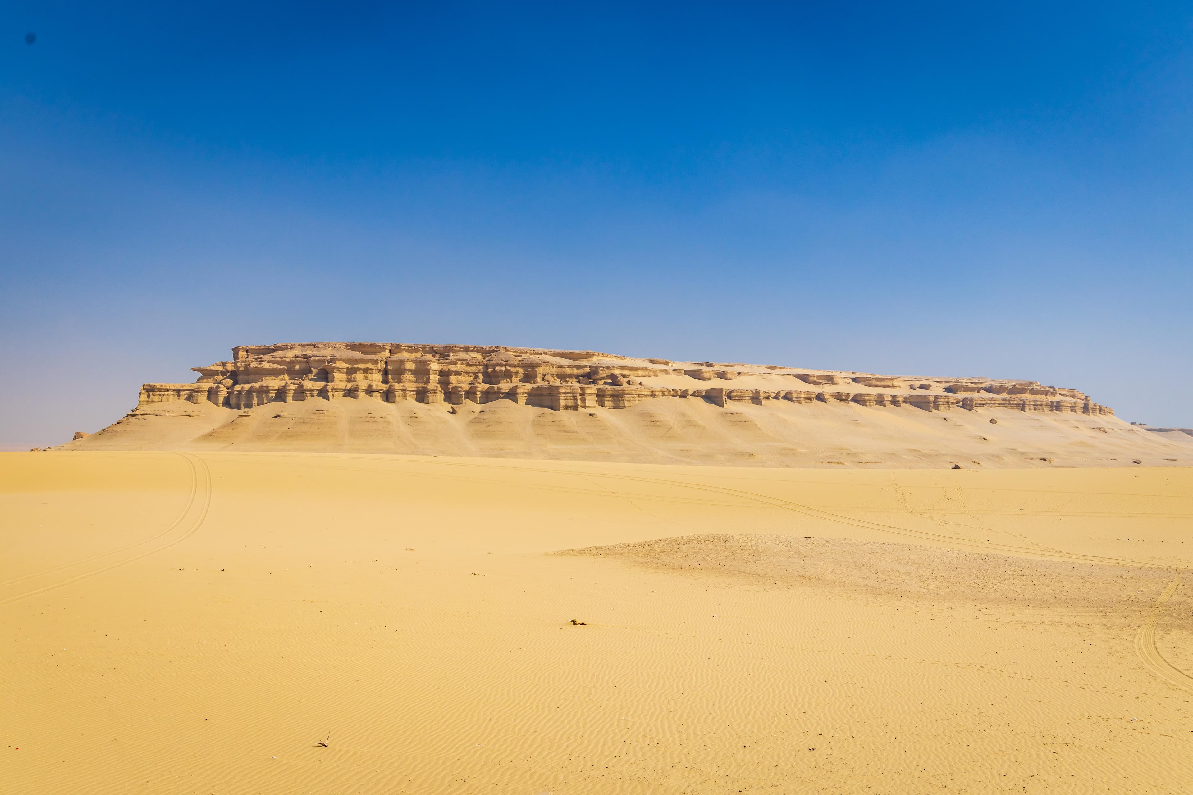
Al-Jilf al-Kabir translates roughly as "the great barrier", a fair description of a sandstone mass rising some 300 m out of flat sand with high points a little over 1,000 m. Prince Kamal el Din Hussein, who crossed this desert by half-track, gave it the name in 1925.
You will read that the Gilf is the size of Switzerland. That figure describes the national park, not the plateau. The park declared in 2007 covers 48,533 km2, about five per cent of Egypt; the plateau itself is generally given as roughly 7,770 km2, closer to Puerto Rico.
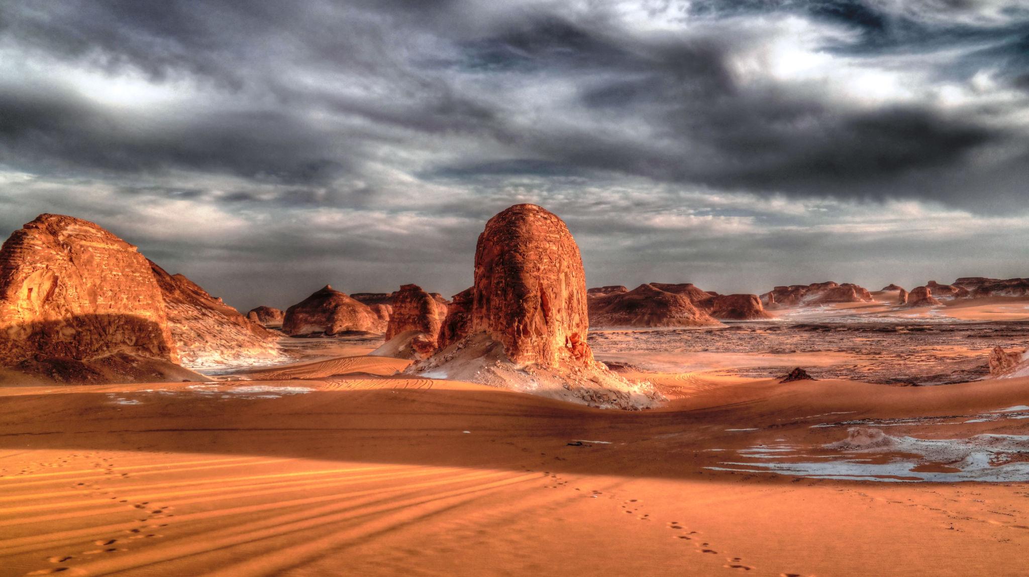
The plateau splits into northern and southern massifs, and the Aqaba Pass, found by Patrick Clayton and Almásy in 1933, is the classic way up from the south. Dry valleys cut in from every side: Wadi Hamra with its red sand, Wadi Abd el-Malik, Wadi Bakht and, on the south-western flank, Wadi Sura. Our Western Desert oasis circuit guide covers the paved half of the journey and the Dakhla guide the last town with a hospital.
Wadi Sura and the Cave of Swimmers
Wadi Sura means valley of pictures. Almásy documented the shelter in October 1933 and published it the following year, reading the figures literally: people swimming, therefore water, therefore a wetter Sahara. Alongside them the rock carries a giraffe and a hippopotamus, animals that cannot now live within several hundred kilometres of the site.
The interpretation is not settled. The Sahara specialist András Zboray argues the figures are symbolic rather than observational, with a meaning we do not know; others read them as the dead moving through water, an idea that resurfaces much later in pharaonic funerary thought.
Visitors are often surprised by the physical reality: a shallow overhang a few metres deep, not a cave, with hand-sized, faded figures and panels lost to spalling rock. Anyone arriving with the 1996 film in mind should know that cave was a set.
The Cave of Beasts, and Why It Matters More
Ten kilometres west lies the shelter specialists consider the more important of the two. Wadi Sura II, also called the Mestekawi-Foggini cave and popularly the Cave of Beasts, was found in 2002 by Massimo and Jacopo Foggini with Ahmed Mestikawi. Its back wall carries roughly 5,000 painted figures in red, yellow, white and black, with some counts running to 8,000.
Swimmers appear here too, but the wall is dominated by rows of cattle, human files and dances, hundreds of hand and foot stencils, and the headless creatures that gave the site its name, shown swallowing or disgorging human figures. A University of Cologne team documented it in detail from 2010 under the Wadi Sura Project.
One result is worth carrying with you. A study published in April 2016 examined the smallest stencils, long assumed to be infant hands, and found the proportions do not match human babies at all. The closest match came from the forelimbs of desert monitor lizards, which still live in the region.
What the Paintings Say About a Green Sahara
Between roughly 11,500 and 5,000 years ago the African Humid Period pushed the monsoon far north of where it falls now, and the eastern Sahara held seasonal lakes, grassland and the animals that go with them. These paintings were made from inside that world.
Dating them precisely is hard, and honest sources say so. The Cologne team assigns most of the Wadi Sura imagery to hunter-gatherer groups of roughly 6500 to 4400 cal BC; popular accounts variously give 9,000 to 6,000 years ago, or simply "around 8000 BC". Pigment on sandstone can seldom be radiocarbon dated directly, so chronology comes from occupation deposits, superimposition and style.
The end of that green phase concentrated people along the Nile. If deep time appeals, the whale fossils on our Wadi al-Hitan day trip from Cairo tell a related story from 40 million years earlier, and are reachable in a day.
Warning: A Site That Has Already Been Damaged
The Cave of Swimmers has suffered badly since it became famous. Documented harm includes fragments broken off as souvenirs, modern graffiti, litter, and worst of all water splashed on the paintings to make the colours photograph better. Wetting the rock leaches and cracks pigment as it dries. It looks harmless for ten minutes and is permanent.
The park rules are simple, and reputable operators enforce them: do not touch the painted surfaces, never apply water, camp well away from the shelters, and carry out everything including waste. Nothing may be collected in the park, desert glass and pottery sherds included. Our guide to desert permits and choosing an operator sets out the questions worth asking before you book.
Almásy, Zerzura and the War in the Sand
The exploration of the Gilf was driven by folklore. Zerzura, the lost oasis, appears in medieval Arabic texts; the name probably derives from zarzar, a small bird, giving something like "place of the little birds". In November 1930 a group of desert travellers met at a Greek cafe in Wadi Halfa and half-jokingly founded the Zerzura Club, Ralph Bagnold among the founders and Clayton and Almásy joining later.
They never found a city. The expeditions of 1932 and 1933 found the vegetated wadis of the northern Gilf and traces of Tebu shelters, which is probably all Zerzura ever was. Bagnold's lasting legacy was technical: sun compasses, tyre-pressure work and sand-channel technique, taken into the Long Range Desert Group he founded in 1940.
Almásy finished the war on the other side. In May 1942 he led Operation Salam for the Abwehr, driving four captured American trucks from Jalo through Kufra, across the Great Sand Sea and around the Gilf to drop two German agents near Asyut, some 4,200 km through country the British thought impassable. They were picked up almost at once. The party stopped at the Cave of Swimmers on the way.
Silica Glass and Egypt's Only Impact Crater
North of the plateau, in the south-western Great Sand Sea, lies a field of yellow-green natural glass roughly 130 km by 50 km. Libyan Desert Glass is about 98 per cent silica, the purest natural glass known, first described scientifically by Patrick Clayton in 1932 and generally attributed to an impact or airburst around 29 million years ago, though the mechanism is still argued. The scarab at the centre of one of Tutankhamun's pectorals was identified as this material in the late 1990s, so a piece of this desert is on display in the Grand Egyptian Museum. Our Great Sand Sea guide covers the dune field from the Siwa end.
Far to the south, near the Sudanese border, sits Kamil Crater: 45 m across and about 16 m deep, punched out by an iron meteorite of roughly ten tonnes less than about 5,000 years ago. Vincenzo de Michele spotted it on satellite imagery in 2008 and a field team confirmed it soon after. It is the only confirmed impact crater in Egypt, and reaching it adds days to any itinerary.
Closer to Dakhla you pass Abu Ballas, the father of jars, one of a chain of pharaonic water-jar depots traced along a donkey-caravan route towards the Gilf and in use by around 2200 BC.
Permits, Escorts and Who Is Allowed to Go
This is where most Gilf plans end. The UK Foreign, Commonwealth and Development Office advises against all but essential travel to the area west of the Nile Valley and Delta because of criminal activity and military operations. Its exceptions cover the oasis towns, the White and Black Deserts and specified desert roads; they do not extend to the Gilf Kebir. It states plainly that anyone travelling to the south-west corner near the Sudanese or Libyan border needs a permit from the Ministry of Interior, and that bandits and armed groups operate there. The US State Department keeps Egypt at Level 2 overall while designating parts of the Western Desert do not travel unless you are with a licensed tour company.
In practice that means no self-drive and no last-minute departures. An operator submits passport details and a route plan months ahead, clearance comes through military and interior channels, and an officer travels with the group at its expense. Permission can be narrowed or refused late, and Gebel Uweinat on the tri-border is handled separately and often declined.
What an Expedition Actually Involves
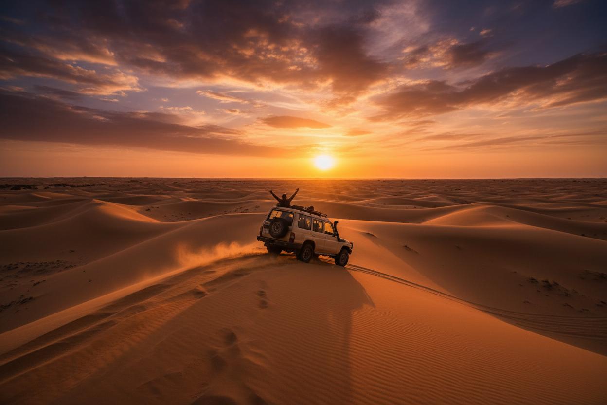
Strip away the romance and it is a logistics exercise: 2,000 to 3,000 km in one to two weeks, mostly off-road, with days of six to ten hours behind the wheel.
- Two vehicles minimum and preferably three, so a mechanical failure is survivable
- Fuel carried in-vehicle and cached in advance, typically several hundred litres per truck
- Water at three to five litres per person per day, plus cooking and radiators
- Satellite phone, GPS with paper and compass backup, sand ladders and a compressor
- A mechanic and a cook travelling as crew, not as an upgrade
- Tents or open ground, with all rubbish and human waste carried out
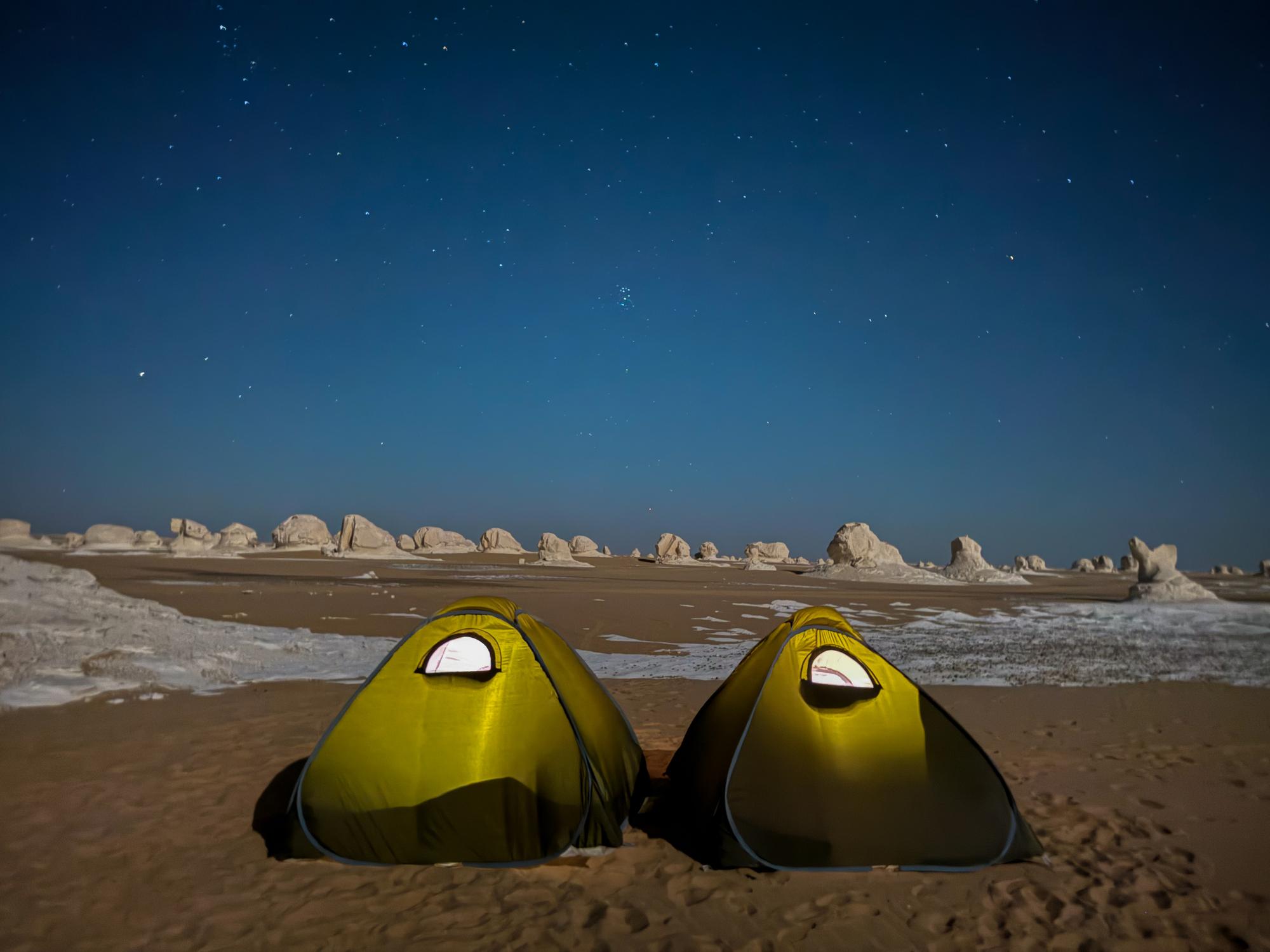
There is no lodge, no camp and no toilet in the park. There is also almost no ambient light, which gives the Gilf one of the darkest skies you will ever stand under.
Pro Tip: Judge an Operator by the Fuel Arithmetic
Diesel in Egypt rose to 20.50 EGP a litre on 10 March 2026, roughly 0.41 USD at about 50 EGP to the dollar, and the government has said pump prices hold to October 2026. A vehicle carrying 600 litres is sitting on around 12,300 EGP, about 245 USD, of fuel before it moves.
Now the sum that matters. A loaded 4WD in soft sand can burn 25 to 30 litres per 100 km, two to three times its highway figure, so 2,500 km of desert consumes more than a single 600-litre load. That gap is why serious operators cache fuel along the route rather than carrying it all from Dakhla. Ask how many litres per vehicle they carry, where the dumps are, and what happens if one truck is lost. An operator who answers in litres and kilometres has done the arithmetic.
Our Recommendation: Build Up to the Gilf
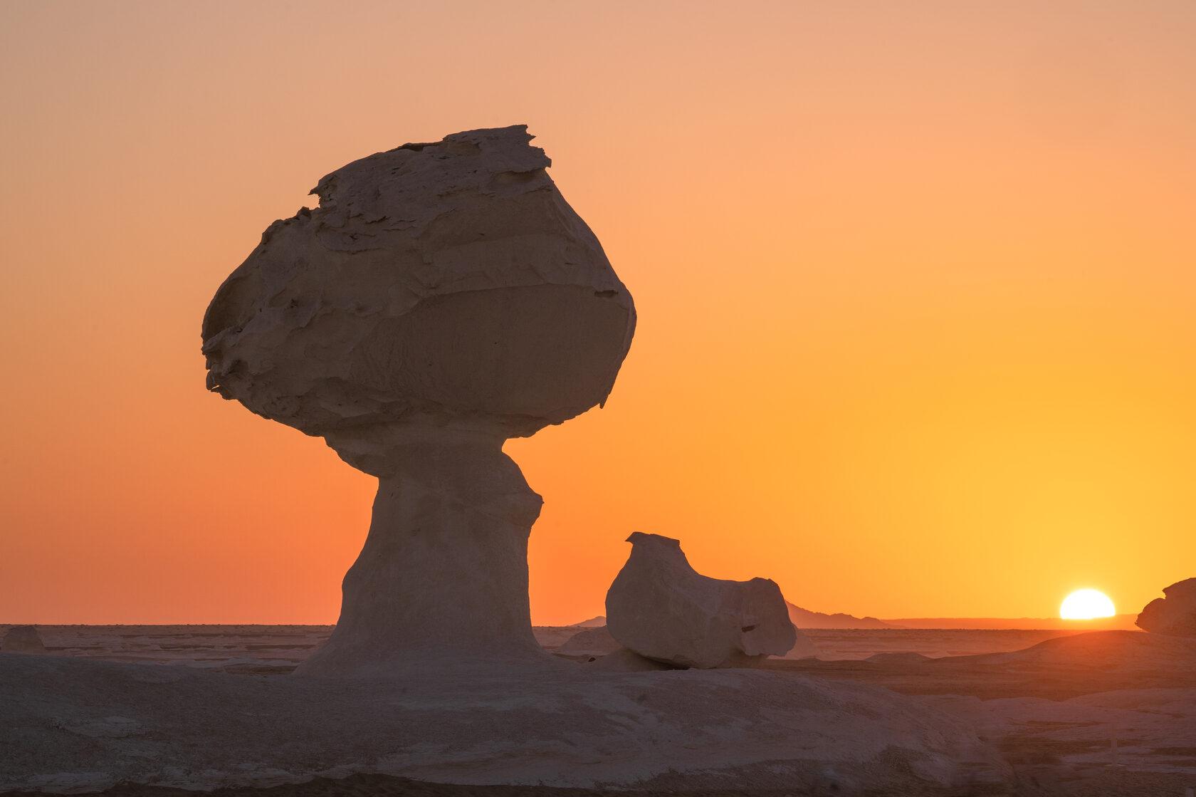
Most people who write to us about the Cave of Swimmers have never spent a night in the Egyptian desert. Do that first, on something that costs a fraction and can be arranged in days. A White Desert and Black Desert overnight safari from Bahariya Oasis tells you whether you enjoy sleeping on sand at 5C (41F) with no shower, and the chalk formations of White Desert National Park are extraordinary in their own right.
If it is the driving that draws you, a three-day Siwa desert adventure puts you into real dune work on the eastern edge of the Great Sand Sea with none of the permit machinery. If the pull is archaeology in an empty landscape, the Bahariya golden mummies tour reaches a Greco-Roman cemetery almost nobody sees.
Planning a Gilf Kebir Season
Expeditions run from late October to mid-March, and no sensible operator goes outside that window. December and January bring the most stable weather and the coldest nights, with sub-zero temperatures on the plateau and daylight gone by half past five. February and early March are warmer but run into the khamsin, the sand-laden wind that can flatten visibility between March and May. Summer, with shade temperatures well above 42C (108F), is not a season here at all.
Start planning months rather than weeks ahead. Permits take time, and departures are scheduled rather than on demand because the economics only work with a full convoy. Build in a fallback too: if permission does not come, the oasis circuit and the White Desert are still there.
If you are seriously considering this, tell us your dates, group size and how much rough camping you have done, and we will say plainly whether it is realistic. Start that conversation on our contact page.