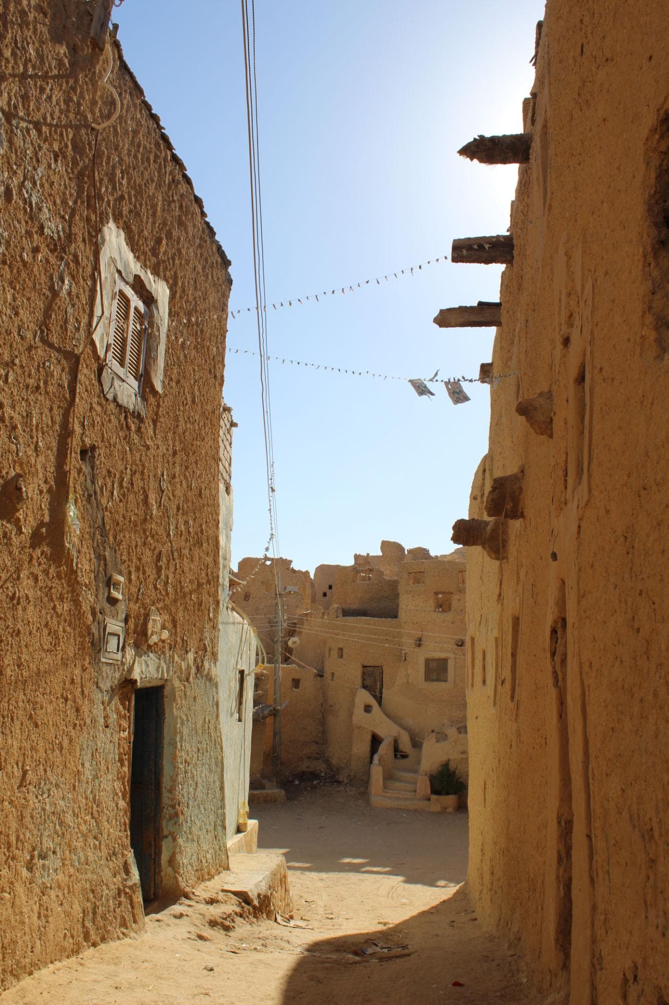
At the northern edge of Dakhla, where the palm gardens stop and a wall of pink limestone cliffs begins, there is a town you enter through a gap barely wider than a doorway. Inside Al-Qasr the lanes are roofed over with palm trunks and mud, so daylight arrives in slabs, and the upper storeys lean toward each other across passages built too low to admit a man on horseback. A donkey goes past. Somebody is turning pots on a kick wheel in a room off the alley. Above it all stands a three-storey minaret, 21 metres of tapering mudbrick.
Dakhla is the most architecturally rewarding of Egypt's Western Desert oases and the one most travellers skip. Those who come this far west usually stop at Bahariya, camp under the chalk of the White Desert and turn around. Dakhla lies roughly 310 km further, three and a half to four hours of nothing at all, and that extra leg is why it kept a string of mudbrick villages the Nile Valley traded for concrete decades ago. What you get for the drive is a medieval town you can walk through rather than photograph from behind a fence, a Roman temple carrying the signatures of Victorian explorers, and the tombs of the Sixth Dynasty governors who ran the oasis.
At a Glance
Where it is: New Valley Governorate (al-Wadi al-Gadid), 350 km west of the Nile
Main town: Mut, also written Mout or Madinat al-Dakhla
From Farafra: about 310 km, three and a half to four hours
From Kharga: about 190 km, three hours on the Darb el-Ghubari
From Cairo: roughly 800 km by road, 10 to 12 hours
Site tickets: 100 EGP for foreign adults, 50 EGP for students, about 2 USD at August 2026 rates
Opening hours: 8am to 5pm across the oasis
Best months: October to April, coolest November to February
Minimum stay: two nights, three is better
Money: cash in small notes, since cards are barely accepted
Where Dakhla Sits, and Why It Feels Different
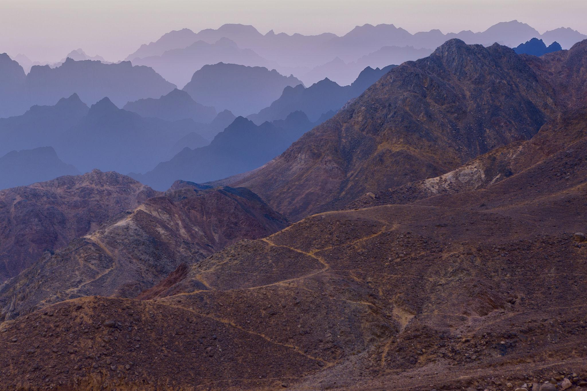
Dakhla is a depression in the desert plateau, about 80 km long east to west and 25 km deep, with a limestone scarp along its northern edge that reads like a coastline. The villages are strung along the foot of it, and the population was around 75,000 at the 2002 count.
Rainfall is effectively zero. Everything green is drawn from the Nubian Sandstone Aquifer, fossil water tapped by artesian springs for millennia and by deep wells since the 1950s. That is the difference from its neighbours: Bahariya Oasis is a base camp for scenery and Siwa a cultural island with its own language, while Dakhla is a working farming landscape with an intact architectural record laid over the top.
Getting There: Three Roads In
Dakhla has an airport, but no scheduled civilian flights, so every arrival is by road.
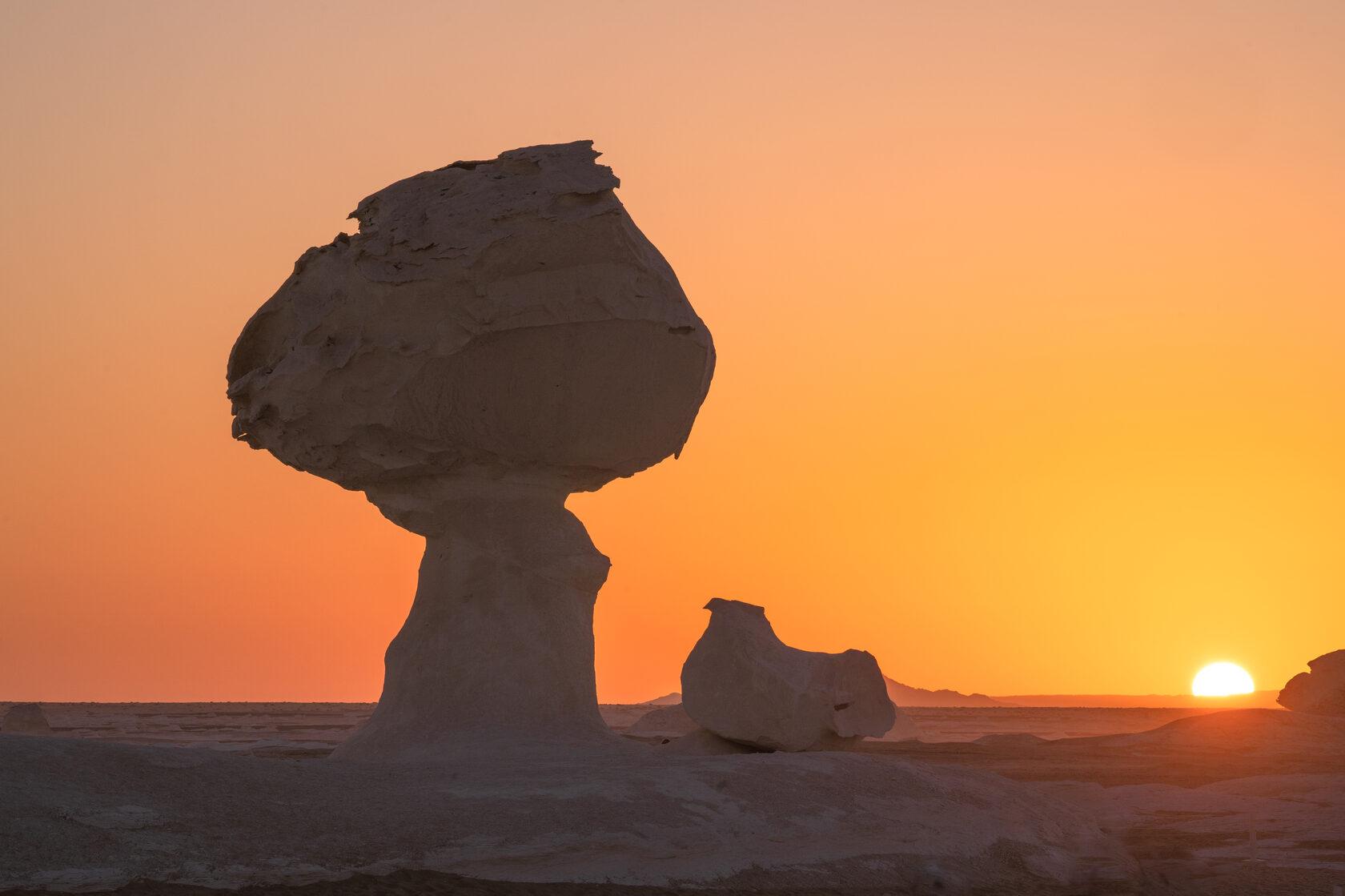
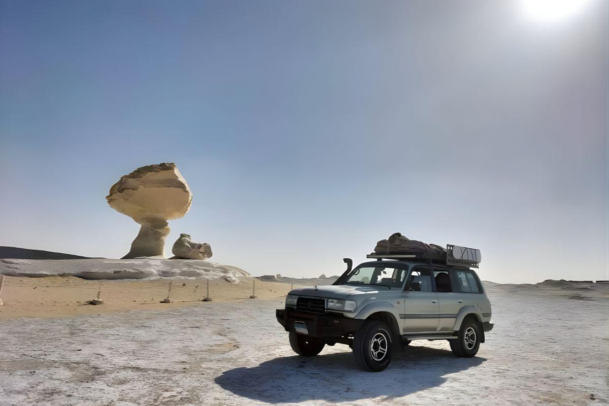
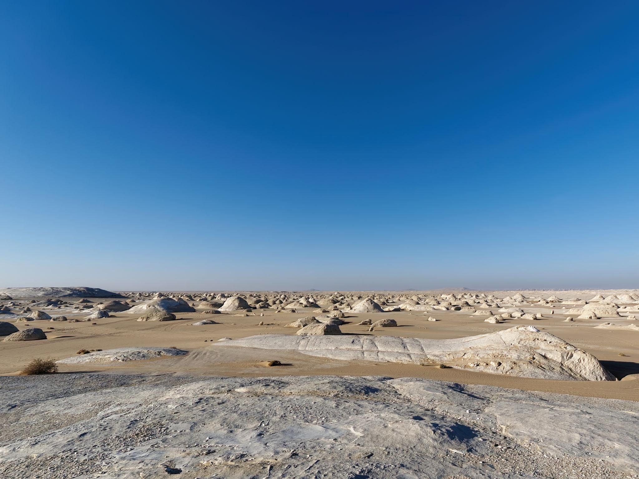
From the north: the classic approach comes down the oasis chain, Cairo to Bahariya around 360 km, Bahariya to Farafra roughly 180 km, Farafra to Dakhla another 310 km. Most travellers break the run with a night in the White Desert, which turns the transit into the best part of the trip: our White Desert and Black Desert overnight safari covers that middle leg and the Bahariya Oasis and Golden Mummies tour the first.
From the east: the Darb el-Ghubari, the "dust track", runs from Kharga town to Mut in about three hours, and Kharga connects by road to Asyut and Luxor. Our Kharga guide covers the temples on that side.
By bus: Upper Egypt Bus Company runs the New Valley routes, and the most dependable is the daily service out of Asyut, reaching Kharga in three to four hours and Dakhla three to four hours later. Departure times shift and are not reliably published online, so ask at the station the day before.
A few local buses a day run from Mut to Al-Qasr and Balat, but a car and driver is the only way to see both ends of the oasis in two days. The full loop is laid out leg by leg in our guide to the Western Desert oasis circuit.
Al-Qasr, the Medieval Town
Al-Qasr sits about 35 km northwest of Mut and is the reason to come. The name means "the fortress", and the Islamic town was built over a Roman one: a cavalry fort of the Roman city of Trimithis stood on this spot, and archaeologists found its remains beneath the medieval fabric. For centuries afterwards Al-Qasr was the capital of the oasis.
The minaret of the mosque of Nasr el-Din is the landmark, three tapering storeys and the only surviving part of the original mosque, the rest rebuilt in the 19th century. Its date is genuinely disputed. Most accounts call it Ayyubid, placing it in the late 12th or 13th century, while a widely circulated figure of "924", sometimes printed as 924 CE, almost certainly belongs to the oldest dated door lintel: read as a hijri year, AH 924 is about 1518 CE, early in the Ottoman period.
Those lintels are what make Al-Qasr unusual. Around fifty carved acacia beams remain above doorways, cut with Qur'anic verses, the householder's name, the carpenter's name and a date. Some of the buildings below them still work: an olive press, a corn mill turned by animal power, a blacksmith's forge, a madrasa that doubled as the oasis court. Potters still throw here. If craft towns interest you, the equivalent within reach of Cairo is our Tunis Village pottery tour in Fayoum.
Insider Tip: Walk Al-Qasr Late, and Take the Custodian
Go after about four in the afternoon. The lanes are dim at any hour, but late light through the roof gaps is what makes the mud walls glow. Take the site custodian rather than wandering alone: the passages loop back on themselves, and he will open the mill, the olive press and houses that are otherwise shut. Allow two hours, and look up, because the lintels sit above eye level and most visitors walk straight under them.
Balat, Ain Asil and the Old Kingdom Governors
About 35 km the other way from Mut, out toward Tineida, the village of Balat holds the oasis's second medieval quarter, its name taken from the Latin palatium and its present fabric probably dating from the second half of the 14th century. Smaller and quieter than Al-Qasr and still partly inhabited, it is the "pink village": two- and three-storey mudbrick houses washed in pink and ochre plaster, with lanes roofed in palm frond.
The archaeology around it is far older. Three kilometres northeast lies Ain Asil, an Old Kingdom town with a governor's palace, bakeries and potteries, occupied in the Sixth Dynasty under Pepi I and Pepi II and burned at the end of the Old Kingdom. Its hieratic clay tablets are rare direct evidence of how a remote oasis reported back to the Nile Valley.
A short distance west lies the necropolis of Qila el-Dabba, excavated since the late 1970s by the French Institute for Oriental Archaeology after earlier work by Ahmed Fakhry. Its large mudbrick mastabas belonged to the governors themselves, rising in receding layers like a provincial echo of the Step Pyramid of Djoser. One ticket covers both sites.
Deir el-Hagar and the Roman Countryside
Ten kilometres west of Al-Qasr, beyond the last field, a sandstone temple stands inside a mudbrick enclosure wall in open desert. Deir el-Hagar, the "monastery of stone", was dedicated principally to the Theban triad of Amun-Re, Mut and Khonsu, with Seth also honoured here. Construction began under Nero, who reigned from AD 54 to 68; Vespasian decorated the sanctuary, Titus added to the porch and Domitian worked on the doorways and gateway, carrying it into the AD 90s. Sand buried it for centuries, which is why it survived; it was cleared and partly rebuilt in the early 1990s by the Dakhleh Oasis Project. Look along the columns for the incised names of 19th-century travellers, among them members of the Rohlfs expedition of 1874.
Two working excavations sit nearby: Amheida, where a fourth-century house preserved a line of a lost Euripides tragedy on its plaster beside the only building from antiquity securely identified as a schoolroom, and Kellis, source of one of Egypt's great caches of fourth-century Christian and Manichaean documents. Parts of both have been reburied for conservation, so ask locally.
Warning: The Muzawaka Tombs Are Usually Closed
Qarat al-Muzawwaqa, the "decorated hill", lies a few kilometres from Deir el-Hagar. Hundreds of rock-cut tombs honeycomb the ridge, but two rank among the finest Romano-Egyptian painted tombs anywhere: those of Petubastis and Petosiris, of the first and second centuries AD, with zodiac ceilings and the famous image of Petosiris in a Roman toga among Egyptian gods.
They have been shut for most of the past two decades, after a ceiling collapse and concern that humidity from visitors' breath was destroying the paint. The ministry still lists Muzawwaqa as a ticketed site with published hours, restoration has been declared finished more than once, and travellers are occasionally let in. Those facts sit awkwardly together, and the honest assumption for 2026 is a locked gate. Treat the interiors as a bonus.
Mut, the Hot Wells and the Palm Gardens
Mut is the administrative town and where you will sleep and eat. It is not picturesque the way Al-Qasr is, but it has an old quarter on the hill above the modern grid and a small ethnographic museum built on the plan of a traditional oasis house, opening at erratic hours.
The wells are the other reason people linger. Bores across the oasis tap the aquifer at around 40°C, comfortable on a winter evening and thoroughly unpleasant in July. The best known is the well outside town usually called Mut Talata, with more out toward El-Dohous. These are local bathing spots rather than spas: concrete tanks, shared, with modesty rules that leave women more comfortable in leggings and a loose T-shirt than in swimwear. The lake north of Mut is agricultural drainage and heavily polluted, so do not swim in it.
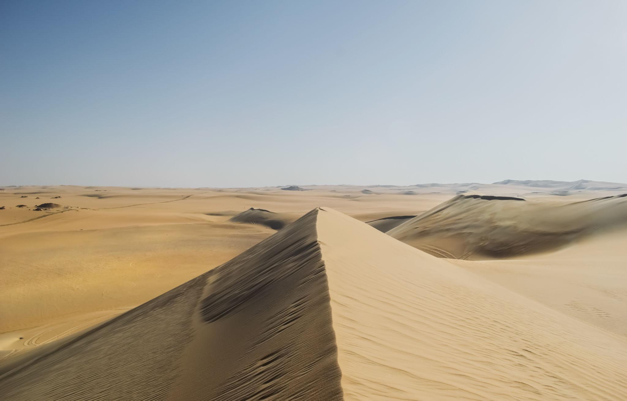
Beyond the fields the dunes of the Abu Muharrik belt march across the oasis, burying road and garden alike. If dunes and salt lakes are the desert trip you actually want, Siwa does it better, and our three-day Siwa adventure is the more direct route to it.
Good to Know: Tickets, Cash and Checkpoints
Five sites carry a ticket, all 100 EGP for foreign adults and 50 EGP for students, open 8am to 5pm: Al-Qasr, Deir el-Hagar, Qarat al-Muzawwaqa, Qila el-Dabba with Ain Asil, and Ezbet Bashendi. Older guidebooks still quote 40 EGP, and Egyptian prices are revised often and always upward, so treat every figure here as approximate and stamped to mid-2026.
There are ATMs in Mut, but they run dry and card payment is rare. Draw what you need in Cairo, Asyut or Kharga and carry it in small notes. Budget separately for baksheesh, because at nearly every site a custodian will open a door or point out a lintel you would have walked past; our guide to money and tipping in Egypt has the going rates.
You will pass police checkpoints entering and leaving the oasis and passports get logged, which is routine. As of 2026 the UK Foreign, Commonwealth and Development Office advises against all but essential travel west of the Nile Valley and Delta but excepts the oasis towns of Bahariya, Farafra, Dakhla and Kharga, and states that tourists entering the Bahariya, Farafra, White Desert and Black Desert areas must obtain permits in advance and use an official guide. In practice the northern approach road runs through permit country even though Mut does not. Our guide to desert safety and permits in Egypt covers what a good operator should carry.
When to Go, Month by Month
October to April is the season. January is coldest, with average highs around 21°C (71°F) and lows near 3.5°C (38°F), which catches people out: desert nights are genuinely cold and most budget rooms are unheated. February warms to about 24°C (75°F) by day, and March through May brings the khamsin, the sand-laden wind that can flatten visibility for a day or two.
July and August are the wall, with average highs of 38 to 39°C (100 to 102°F) and a recorded extreme of 49.5°C (121°F) in June. The oasis has also recorded frost, at nearly minus 4°C (25°F), so pack for both ends.
How Long to Stay and Where to Sleep
Two nights is the realistic minimum and three is better. A workable shape: arrive in the afternoon for Mut and a hot well, give a full day to Al-Qasr, Deir el-Hagar and the Muzawwaqa ridge in the west, and a second to Balat, Ain Asil and Bashendi in the east.
Accommodation runs from plain hotels in Mut, through mid-range places with air conditioning and hot water, to a few mudbrick desert lodges between Mut and Al-Qasr. The lodges fill in the December to February peak and some close in high summer. Book by phone or email rather than trusting online availability, and confirm whether dinner is included, because restaurant options outside Mut are thin after dark.
Planning Your Dakhla Trip
Dakhla asks for a commitment of time the Nile Valley does not, and it repays it in a specific way: this is where you can still walk through a lived-in medieval town rather than a restored monument, and where a Sixth Dynasty mastaba, a Roman temple and a working pottery kiln sit within half an hour of one another. It works best as the deep leg of a longer desert route, entered from Bahariya and Farafra with a night under the chalk formations and exited east to Kharga and the Nile, so you never drive the same road twice.