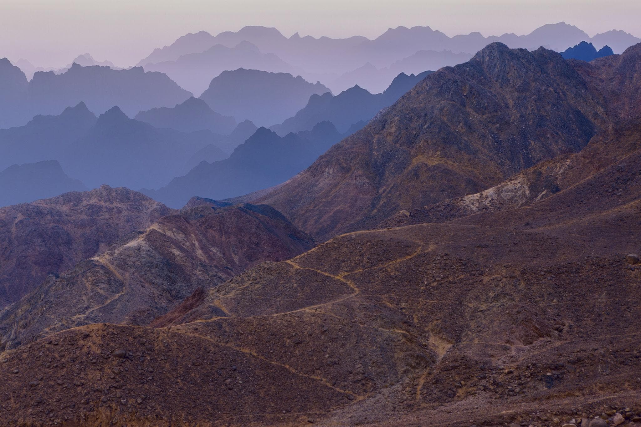
The road from Asyut runs 234 km south-west across a gravel plain with almost nothing on it, and then the ground drops away. Kharga lies in a depression roughly 160 km long and 20 to 80 km wide, cut deep enough to reach the Nubian Sandstone aquifer. The Romans called it Oasis Magna, the Great Oasis. It is now the capital of the New Valley, Egypt's largest and emptiest governorate: 440,098 square kilometres, close to half the country, holding around 271,000 people.
Almost nobody visits. Kharga has the best-preserved building in Egypt from the Saite-Persian period, one of the oldest surviving Christian cemeteries anywhere, a chain of Roman garrison forts and underground aqueducts cut in the fifth century BC, and on most days you will share it with a custodian and his kettle. The standard desert loop runs out of enthusiasm at Dakhla, and Nile Valley travellers rarely look 230 km west of Luxor.
At a Glance
Place: al-Kharga (الخارجة, "the outer"), capital of New Valley Governorate, roughly 200 km west of the Nile
Town population: about 87,500 as of 2023
From Asyut: 234 km, about three hours on paved desert highway
From Luxor: 337 to 350 km, four to five hours
From Dakhla (Mut): three to four hours on the daily Upper Egypt bus
Core sites: Hibis, Bagawat, Qasr el-Ghueita, Qasr el-Zayyan, Qasr Dush, Kharga Museum
Best months: November through March
July and August: average daily high 41°C (106°F); record 50.3°C (123°F)
Time needed: two full days, three for the outlying Roman forts
Getting There and Getting Around
Three roads reach the oasis. Asyut is the practical Nile Valley entry, about three hours on paved highway, with a daily Upper Egypt Bus Company service leaving around 8am. From Luxor it is four to five hours with no scheduled bus, so private car or taxi, and from Dakhla the eastward leg takes three to four hours. The airport has had no scheduled flights for years, and the railway to Qena and Port Safaga, opened in 1996, was decommissioned soon after.
The antiquities are strung along the depression floor for close to 120 km. Hibis and Bagawat sit 2 to 3 km north of Kharga town. Qasr el-Ghueita and Qasr el-Zayyan lie south at roughly 18 and 30 km on the Baris road. Baris is 86 to 90 km south depending on the source, with Dush another 23 km east of it. Qasr el-Labeka and Ain Umm el-Dabadib lie north-west on desert tracks. Nothing is walkable between sites: you need a car for the day, and a four-wheel drive with a driver who knows the route for the northern forts.
If you are coming down the chain from Bahariya, our guide to the Western Desert oasis circuit covers the legs above Kharga, and Dakhla is the natural stop before it.
The Temple of Hibis
Hibis is why serious visitors come: the only substantial structure in Egypt from the Saite-Persian era, roughly 664 to 404 BC, to survive in decent condition.
Most scholars date construction to the 26th, or Saite, Dynasty, probably under Psamtik II, who reigned from about 595 to 589 BC, though some argue for an earlier start in the 25th; a New Kingdom temple stood here before it. Most of the surviving decoration is credited to Darius I, the Achaemenid ruler who counted as pharaoh of the 27th Dynasty from 522 to 486 BC. Hakor of the 29th Dynasty, Nectanebo I and II of the 30th, probably Ptolemy IV and at least one Roman emperor all added to it.
The dedication was to a local Amun, worshipped as Amun of Hibis and as Amun-Ra of Karnak who dwells in Hibis; anyone who has walked the hypostyle hall at Karnak Temple will recognise the theology if not the scale. The sanctuary carries hundreds of deities, close to 700 figures on the naos alone. The relief people photograph shows a falcon-headed Seth spearing the serpent Apep, read by some art historians as an ancestor of the Saint George image, though that remains a suggestion.
Hibis nearly did not survive the twentieth century. Irrigation raised the water table and attacked the foundations, and the antiquities service considered dismantling and moving the building. Instead a rescue project took the stonework apart, dealt with the groundwater and reset it, at a reported 71.65 million EGP; the temple reopened in the mid-2010s.
Insider Tip: The Order to Visit In
Do Hibis and Bagawat between 8 and 10am. Both face east, the Bagawat paint reads better before the sun is overhead, and you are back in the car before the heat. Save Qasr el-Ghueita for late afternoon, when it stands on its rise above the palm belt in low sun. Custodians at the outlying sites sometimes have to be found and sometimes have the key on them, so carry small notes.
Bagawat and the Painted Domes
A few hundred metres from Hibis, a hillside carries 263 mudbrick funerary chapels, most of them domed, packed together like an abandoned village. Al-Bagawat was in use from roughly the 3rd to the 7th century AD and is among the oldest Christian cemeteries surviving anywhere.
Two chapels hold the paintings. The Chapel of the Exodus, number 25 and one of the earliest, runs a frieze of Moses leading the Israelites out with pharaoh's chariots behind them, the gathering of manna, and Jonah and the sea creature. The Chapel of Peace, number 28 and usually dated to the 5th or 6th century, is better preserved: Daniel in the lions' den, the three Hebrews in the fiery furnace, and labelled figures from both testaments in ochre and red on white plaster.
Nestorius, deposed as Patriarch of Constantinople at the Council of Ephesus in 431, was exiled to the Great Oasis and wrote his surviving defence, the Bazaar of Heracleides, somewhere in this depression. This was where the empire sent people it wanted out of the way.
The Fortress Temples of Ghueita and Zayyan
Qasr el-Ghueita stands on a bluff about 18 km south of town, though published figures run from 17 to 25 km. The name translates as the fortress of the beautiful garden, a fair description of what this end of the depression once was: farmed, watered, and in antiquity planted with vines that supplied the Nile Valley.
The sandstone temple inside is dedicated to the Theban triad of Amun, Mut and Khonsu. Cartouches of Darius I appear in the sanctuary, with later additions attributed to Ptolemy III, IV and X, and around all of it runs an enormous mudbrick enclosure wall, generally dated Roman, still several metres high.
Qasr el-Zayyan is a short drive further south, roughly 30 km from town. In Egyptian it was Takhoneourit, the great well, which became Tchonemyris in Greek. Its temple honoured Amun, and a Greek inscription on the threshold records restoration under Antoninus Pius around AD 140. Together the pair show that Kharga was garrisoned, administered and taxed, not merely inhabited.
South to Baris and the Temple of Dush
Ninety kilometres south, past Baris village, the temple of Dush marks the frontier settlement of Kysis, where five caravan routes converged. It was dedicated to Osiris, whom the Greeks recast as Serapis, and to Isis, and built and decorated under the emperors Domitian, Trajan and Hadrian; parts are believed to have been sheathed in gold. Above it stands a mudbrick fortress on a hill of about 79 m, Ptolemaic in origin and rebuilt by the Romans.
The French Institute for Oriental Archaeology has excavated here since 1976 and recorded 92 tombs holding 433 burials. In 1989 the team found the Dush treasure in a jar: second-century Roman gold including necklaces, coins and a diadem of 363 g worked with vine leaves, now in the National Museum of Egyptian Civilization in Cairo. The gilded masks in our guide to Bahariya and the Valley of the Golden Mummies date from the same centuries at the northern end of the chain.
There is nothing to eat between Kharga town and Baris. Bring lunch.
The Roman Forts, the Qanats and the Forty Days Road
North-west of town, out on the tracks, are the sites that make Kharga read as a frontier system rather than a scatter of ruins. Qasr el-Labeka was in use from at least the Ptolemaic period into the 4th century AD. Ain Umm el-Dabadib, about 40 km north-west of town and 20 km west of Labeka, has one of the most elaborate qanat networks the Romans built: kilometres of underground channel carrying water down a shallow gradient without losing it to evaporation. Both need a four-wheel drive and a driver who knows the tracks, arranged through the tourist office in town. At Ain Manawir the qanats are Persian, cut in the 5th century BC, and the demotic ostraca found there are dated by the regnal years of Persian kings.
All of it existed because of the Darb el-Arbain, the Forty Days Road, which ran roughly 1,800 km from Kobbei in Darfur to Asyut. The name refers to the journey time in antiquity; caravans in practice needed nearer sixty days, and Kharga was the last major watering point before the pass down to the Nile. Gold, copper, ebony, ivory, ostrich feathers, salt, spices and incense moved north along it, and so did enslaved people: nineteenth-century European observers put the annual figure between 3,000 and 12,000, and the Anglo-Egyptian administration suppressed the trade in the 1890s.
The New Valley and an Unfinished Village
The governorate is named for a mid-twentieth-century scheme to irrigate the desert from deep aquifer wells and resettle Nile Valley farmers here. It never reached its intended scale, but it is why Kharga town looks planned rather than old.
Sixty kilometres south lies its most interesting failure. In 1967 the architect Hassan Fathy designed New Baris for the Organization for Desert Development, a village for 250 farming families built around a covered market engineered to stay cool without machinery, after a water source was found in 1963. Construction stopped and it was never occupied; the market and a few houses still stand empty in the sand. Back in town, the Kharga Museum, opened in 1986 and built to echo Bagawat's domes, opens roughly 8am to 4pm.
When to Go
November through March, and the numbers are not close. Average daily highs run 22.6°C (73°F) in January, 25.2°C (77°F) in February, 28.9°C (84°F) in November and 24.1°C (75°F) in December. Nights are cold: January averages a low of 7°C (45°F) and the record low is 0°C.
By April the average high is 34.5°C (94°F), by May 38.5°C (101°F), and July and August both sit at 41.2°C (106°F), with an all-time record of 50.3°C (123°F) set in June. Rain is not a factor at 0.3 mm a year. October, averaging 34.6°C (94°F), works if you start at dawn. For how this compares with the Nile Valley and the coast, see our month-by-month weather guide.
A Warning About Distance, Heat and Fuel
Kharga is not dangerous, but it is unforgiving of casual planning. Mobile coverage is reliable only within a few kilometres of the towns, medical facilities are basic, and the nearest serious hospital is three hours away in the Nile Valley. Fuel exists in Kharga town and Baris and effectively nowhere else, so fill up before any southern or western run. Carry at least four litres of water per person per day. The northern forts are a genuine desert drive and want a licensed driver in a properly equipped four-wheel drive, not a town taxi.
Tickets, Permits and Cash
Published ticket prices for Kharga genuinely disagree. An inclusive New Valley ticket covering Hibis, Bagawat, Qasr el-Ghueita, Qasr el-Zayyan and Dush was listed at 120 EGP for foreign visitors and 60 EGP for students at the last widely circulated rate, while other sources quote 50 to 80 EGP per individual site. Those figures predate several rounds of national increases and a heavily devalued pound, so treat them as a floor. With the pound at roughly 50 to the US dollar in August 2026, even a tripled combined ticket stays under 10 USD. Carry it in cash: Egypt has been moving its major sites to card-only ticketing, but the New Valley inspectorates are not among them, and the ATMs in town are unreliable.
The UK Foreign Office advises against all but essential travel to the area west of the Nile Valley and Delta, with named exceptions that include the oases of Bahariya, Farafra, Dakhla (Mut) and Kharga, and the town of Siwa. It also notes that the desert areas around Bahariya, Farafra and the White and Black Deserts require advance permits and an official guide, and that the far south-west near the Sudanese and Libyan borders needs a Ministry of Interior permit. Whether a police escort is imposed on the Asyut and Luxor roads varies and traveller reports are inconsistent, so ask your operator close to your dates, and carry passport copies for the checkpoints.
Fitting Kharga Into a Longer Trip
Treat Kharga as the hinge between the desert and the Nile: come down the oasis chain from Cairo, spend two days here, then run east to Luxor. In that order the Karnak and Luxor temple circuit lands after you have seen what the same religion looked like on the frontier, and a full East and West Bank day closes the loop.
If that is a step too far this time, the shorter version of the landscape is the Bahariya and Golden Mummies day tour or an overnight camp in the White and Black Deserts. Kharga will still be there, quieter than it should be, with the Forty Days Road running out of the south and nobody much on it.