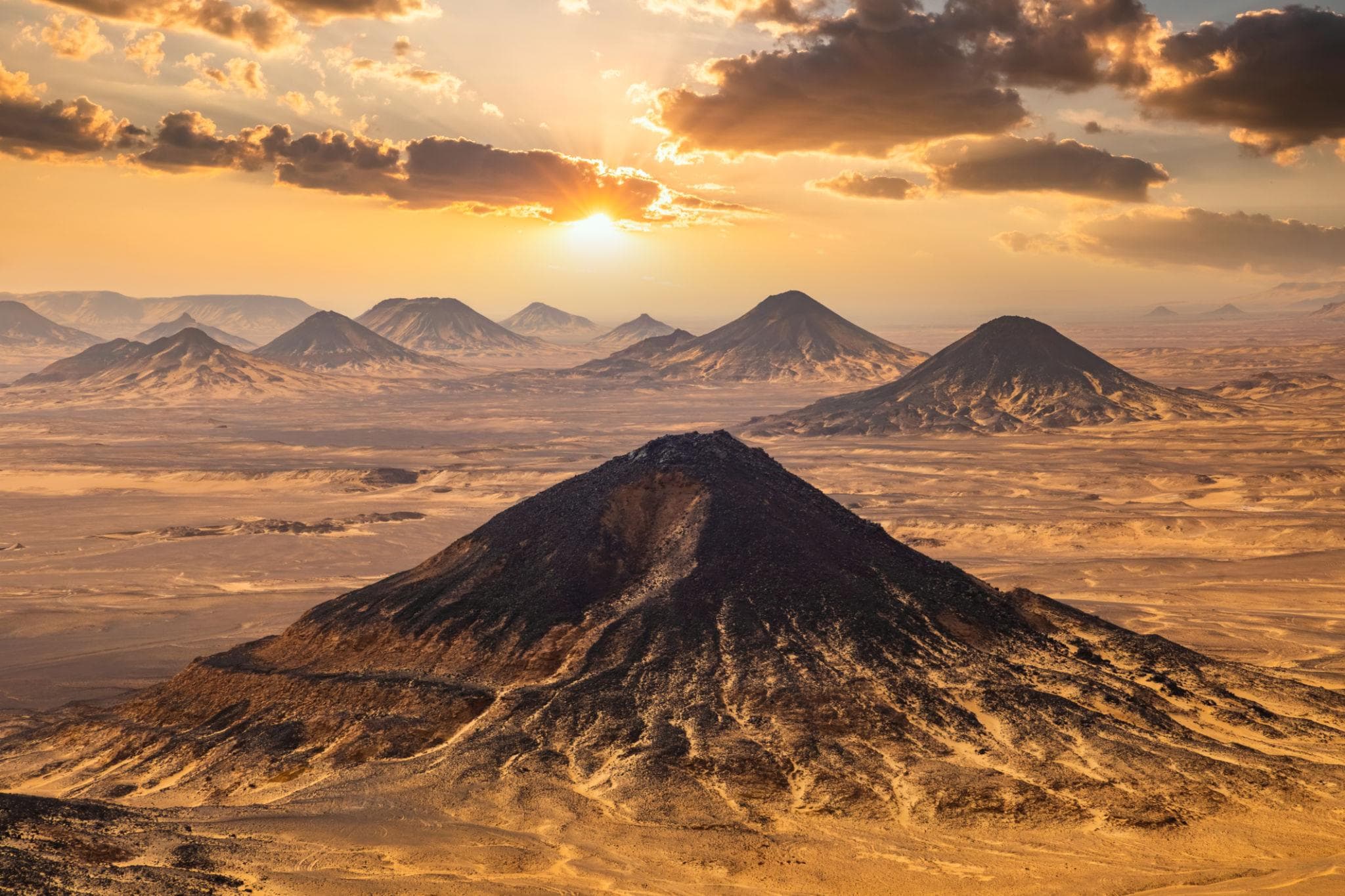
Twenty-odd kilometres south of El Bawiti the gravel plain starts to darken. First a scatter of black stones on pale ground, then whole cones of the stuff, flat-topped and capped with what looks like cooled ash, throwing hard shadows across ground the colour of bone. Drivers slow down here without being asked. After two hours of flat tarmac, the Black Desert arrives as an event.
This is the middle stretch of the Bahariya to Farafra highway, and most people treat it as a corridor. Groups leave Bahariya Oasis after lunch and are camped among the chalk of the White Desert by sunset, having stopped twice for photographs. The corridor deserves better. In roughly 180 kilometres of road you cross a volcanic province, a mineral vein that a road crew cut open by accident, a Roman farming district still under excavation, and a valley of chalk towers standing on the floor of a vanished sea. Here is what is out there, what the rocks actually are, and how it fits into an overnight safari.
At a Glance
Where: The Bahariya to Farafra desert highway, between El Bawiti and Qasr el-Farafra
Distance from Cairo: About 370 km to El Bawiti, four to five hours on one paved road, then roughly 180 km more to Farafra
Black Desert: Basalt-capped mounds along about 30 km of road, starting some 20 to 30 km south of El Bawiti
Crystal Mountain: A roadside mineral ridge, roughly two hours south of El Bawiti
What the crystals are: Barite and calcite, not quartz
Fees: Both are free roadside stops; White Desert National Park charges between 5 and 10 USD per person as of 2026, plus a vehicle fee
Permit: Required, with an official guide, for foreign visitors entering the Bahariya and Farafra desert areas
Best months: October to April
Typical trip: Two days and one night from Cairo, taking every stop below on the drive in
Where the Black Desert Begins and Ends
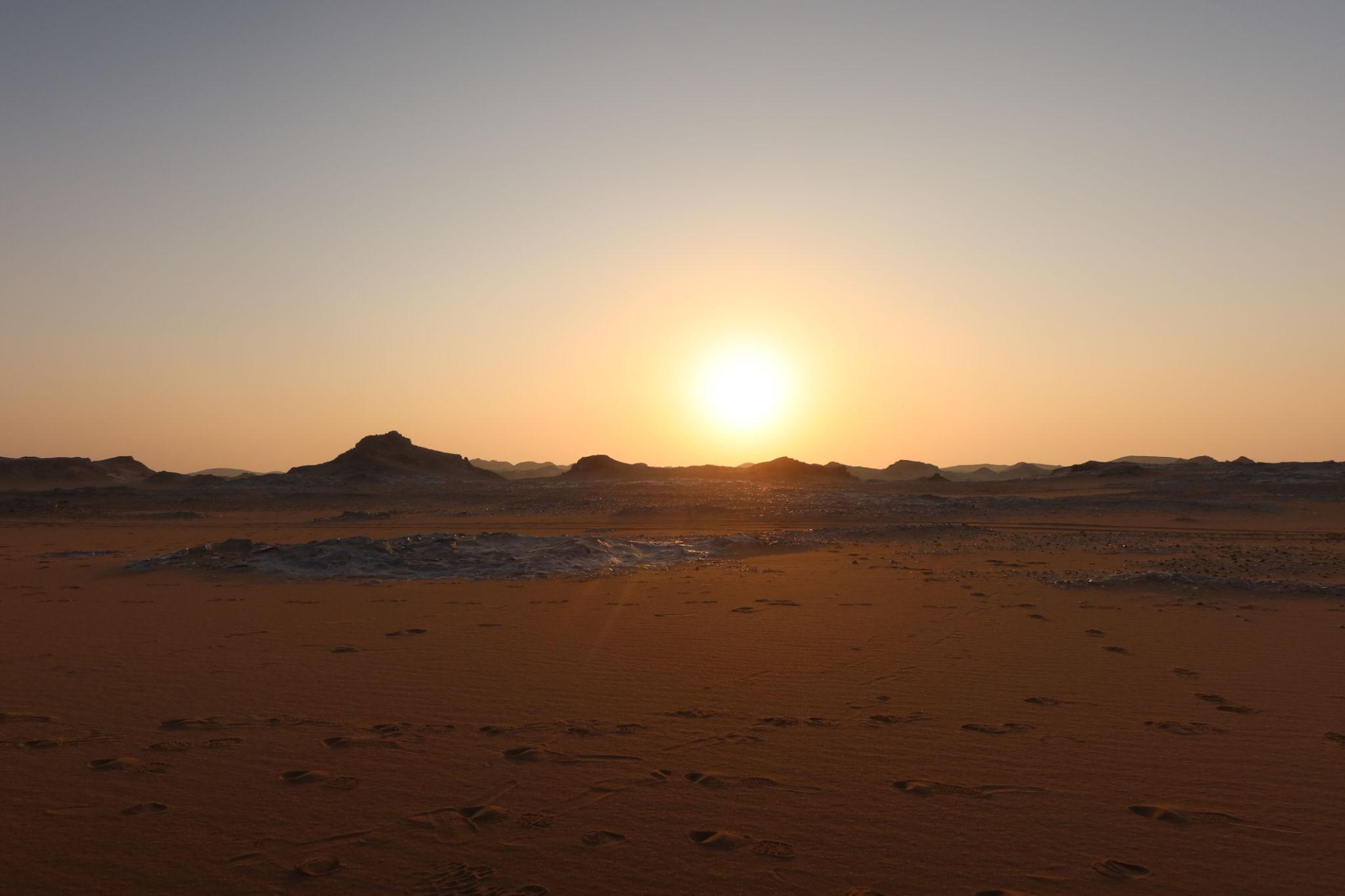
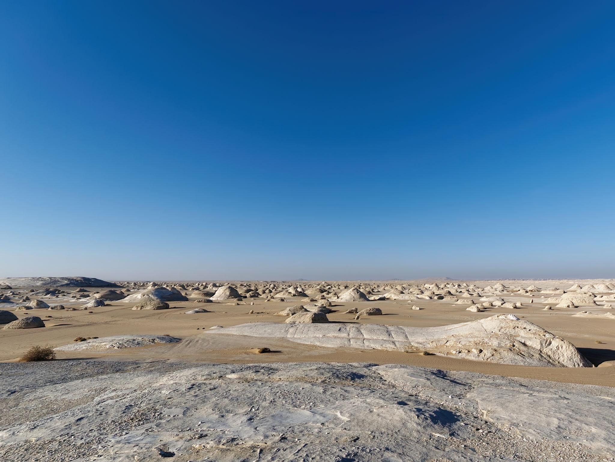
The Black Desert, al-Sahra al-Sawda in Arabic, is not a single landmark. It is a band of dark-capped mounds running along about 30 kilometres of highway between the Bahariya depression and the northern edge of the White Desert, the largest standing close to 100 metres above the plain. Some are genuinely black. Others are rust red, because the rock capping them is iron-rich sandstone or quartzite rather than basalt, and the two colours often sit within sight of each other.
Named hills here include Gebel el-Marsous, Gebel Gala Siwa and Gebel el-Hefhuf. One cone beside the road gets climbed by almost every group that passes; the path is short, but the upper half is loose black scree that slides underfoot, so allow twenty to thirty minutes for the round trip and wear shoes you can fasten. Gebel Gala Siwa, a near-perfect pyramid further along, carries a local explanation in its name: that watchers climbed it to spot caravans coming in from Siwa.
Why the Hills Are Black
The most useful thing to know here is that these cones are not volcanoes. Nothing erupted out of them.
Basaltic magma pushed sideways into the flat-lying sedimentary layers beneath the Bahariya depression and froze there as sills, sheets of hard dark rock sandwiched between soft sandstone and clay; in places it reached the surface as lava flows and left necks behind. The volcanic field covers something on the order of 1,800 square kilometres. Erosion then stripped the soft sediment away, and wherever a slab of basalt survived it armoured the material underneath. The landscape inverted. What stands up today is what was hardest, wearing its own shattered cap as rubble down the slope. The dark stones you walk on are weathered dolerite and basalt shed from above, not lava that flowed where you are standing.
The dating deserves a plain statement, because a Jurassic age of roughly 180 million years circulates widely, including on reference pages that ought to know better. Published potassium-argon dating of the Bahariya volcanics puts five samples in a narrow band between 23.9 and 20.7 million years, which is Late Oligocene to Early Miocene. Only one of those two figures comes with laboratory numbers attached.
Good to Know: What Lies Under the Basalt
The pale sediment the basalt sits on is the Bahariya Formation, laid down in the early Cenomanian stage of the Late Cretaceous, roughly 100 to 95 million years ago, when this was a coastal plain of river channels, tidal flats and mangrove swamp on the southern shore of the Tethys Sea. It is one of the great dinosaur formations of Africa. The German palaeontologist Ernst Stromer excavated here before the First World War, and most of his Bahariya collection was destroyed when Munich was bombed in 1944. Later work produced the titanosaur Paralititan stromeri, described in 2001, and the Black Desert was declared a nature reserve in 2010 on the strength of the fossils along its margins. Rocks and fossils alike are protected, so photograph what you find and leave it. For the same story told through whales rather than dinosaurs, Egypt's only natural World Heritage site is a far easier day out from Cairo on our Wadi El-Hitan trip.
El Heiz, the Stretch Nobody Stops At
About 50 kilometres south of El Bawiti, at the southern limit of the oasis and just as the black hills get going, the road passes a handful of hamlets around a set of springs. This is El Heiz, transliterated El-Hayz in the archaeological literature, and it sat on the caravan road to Farafra long before the tarmac did.
Under Rome it was a prosperous farming district, and the excavated settlement at Bir el-Showish shows a place that flourished in late antiquity. Two structures stand out: Qasr Masuda, a fortified multi-storey building of mudbrick, and the early Christian church at Ain el-Ris, generally described as the best-preserved church of its period in the Western Desert. Ahmed Fakhry published the foundational account in 1974, and the Czech Institute of Egyptology has surveyed the area systematically since 2003, mapping Roman estates, wine production and the underground irrigation channels the oases lived by. None of this is on a standard itinerary. It is a twenty-minute detour, and worth asking for by name.
Crystal Mountain and What the Crystals Really Are
Further south, a low ridge beside the road throws back light in a way nothing else out there does. This is Crystal Mountain, known locally as Gebel el-Izzaz, roughly the mountain of glass. The photogenic feature is a natural arch about the height of a person, its inner surfaces lined with blades of crystal.
They are not quartz, whatever the postcard caption says. The minerals are barite and calcite, about 3 to 3.5 on the Mohs hardness scale and soft enough to scratch with a steel blade; quartz sits at 7. They formed when hot, mineral-rich fluids moved up through the chalk and precipitated in veins and cavities, part of the same thermal history that pushed basalt into the sediments to the north. When the soft chalk around the vein weathered away, the resistant mineral rib was left standing above the plain.
Sources cannot agree on where it is. One reference puts it 120 kilometres from Farafra, current visitor guides say 145 kilometres south of Bahariya, others give 160 kilometres from Bahariya or 90 from Farafra, and one places it inside the extreme northern section of the national park rather than outside it. Some of that is road realignment, some is different measuring points. The workable answer is that it comes up roughly two hours south of El Bawiti, shortly before the White Desert proper, and every safari stops for fifteen to thirty minutes.
Warning: Do Not Chip Off a Sample
The ridge was opened up during construction of the Bahariya to Farafra road, and part of it was broken out and used in the roadbed; local accounts say the minerals were quarried for years afterwards. Decades of visitors have since helped themselves, and the arch in photographs from twenty years ago is visibly bulkier than the one you will see.
Egypt's Law 102 of 1983 on natural protectorates prohibits damaging or removing natural features inside a protected area, and the park's own rules add that vehicles must keep to designated tracks. The practical version is short. Do not stand or climb on the arch. Keep the vehicle on existing tracks, because tyre scars in this terrain last for decades. Take the photograph instead of the souvenir, and say so to your driver before anyone gets out, because a guide who lets a group load up on crystals is exposed alongside them.
The Agabat Valley
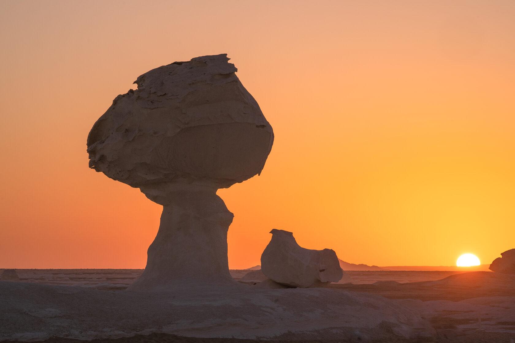
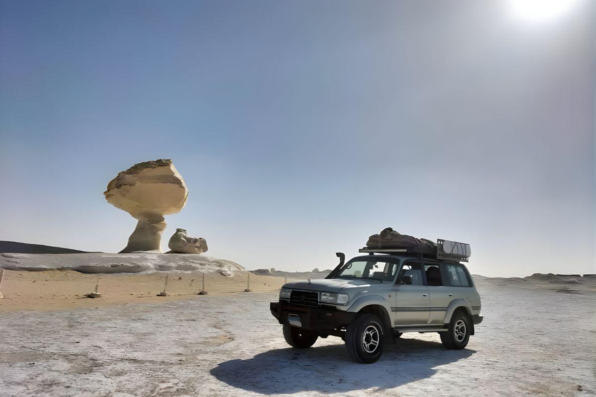
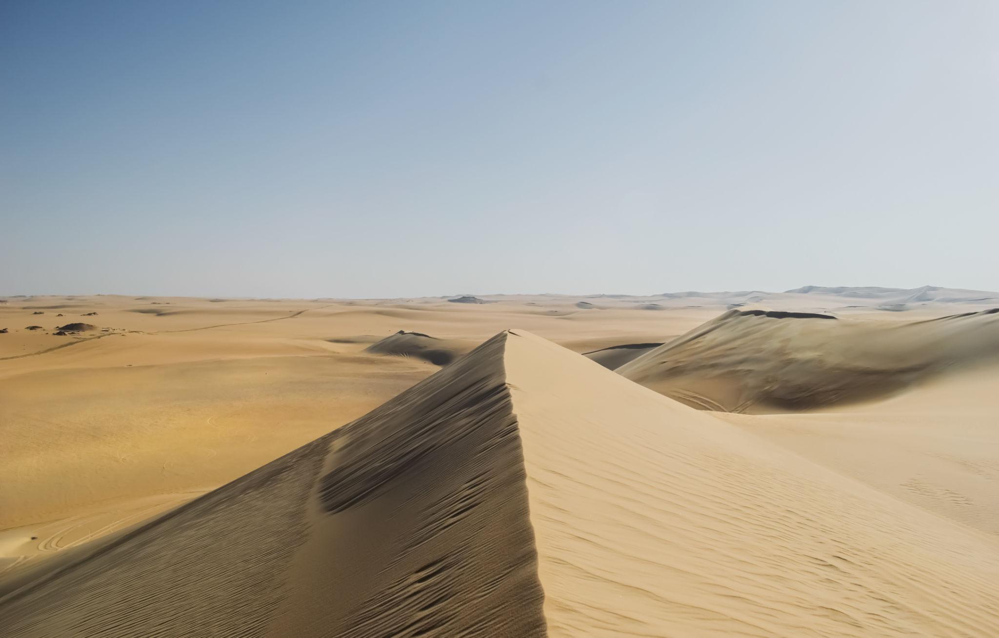
West of the highway, between Crystal Mountain and the main chalk field, the ground opens into Agabat, a name built on the Arabic word for a steep pass. Chalk inselbergs stand isolated on a floor of pale sand, with fingers of golden dune running up against their bases. The colour contrast is the point: yellow sand, white chalk, and in places a dark ironstone crust on top.
Aqabat is the northernmost of the national park's entrances, and reaching the valley floor means leaving the tarmac, which is where the 4x4 finally earns its keep. Most itineraries allow half an hour to climb a low ridge and look down the valley, and a fair number of travellers come back rating it above the White Desert itself.
How These Stops Fit Into an Overnight Safari
The standard two-day trip from Cairo takes all of this on the way in. Leave Cairo between seven and eight, reach El Bawiti around midday, eat, swap into a 4x4, then run south through the Black Desert in mid-afternoon, on to Crystal Mountain and Agabat, and into camp among the chalk with an hour of light in hand. The next morning is sunrise, breakfast and the drive back, usually with a stop at one of Bahariya's hot springs. Budget around seven hours to Cairo on the return leg.
That is the shape of our White Desert and Black Desert overnight, and our guide to camping in the White Desert covers the night itself and what a Bedouin camp is really like. If you also want Bahariya's antiquities, add a half day: the Valley of the Golden Mummies, the tombs of the nobles and the Alexander temple need their own slot, which is what our golden mummies tour and the accompanying oasis guide are built around.
Pro Tip: Argue About the Light, Not the Distance
The two headline stops want light from opposite ends of the day. The Black Desert cones look flat and grey under a midday sun and become genuinely dramatic in the last two hours of daylight. Crystal Mountain glitters at a low sun angle and goes dull at noon, so the morning stop on the way home is often better than the afternoon stop on the way out. If you are travelling privately, say this when you book. Most drivers will happily reorder the day, and it costs nothing.
Costs, Permits and Checkpoints
The two roadside stops are free. White Desert National Park, protected since January 2002, charges an entrance fee that sources report anywhere from about 5 to 10 USD per person, very roughly 250 to 500 EGP at 2026 exchange rates, plus a vehicle fee and a small charge for camping overnight. It is normally bundled into the tour price. A one-night safari from Cairo generally lands between about 100 and 250 USD per person depending on group size. The pound has been volatile, so treat every figure here as a 2026 snapshot.
Permits matter more than most visitors realise.
Tourists who enter the Western Desert areas of Bahariya Oasis, Farafra, the White Desert and Black Desert must apply for permits in advance and use an official guide.
— UK Foreign, Commonwealth and Development Office travel advice, 2026
Carry your original passport rather than a copy, because checkpoints between the oases record traveller details. The direct road between El Bawiti and Siwa is closed and checkpointed, so a Siwa leg such as our three-day Siwa adventure is reached from Cairo by the northern route instead. Our guide to desert permits, heat and choosing an operator covers the paperwork and the vehicle checks.
When to Go
October to April, without much argument. The Farafra weather station, the closest long-run record to this road, averages a January high of 20 C (68 F) and a low of 4.1 C (39 F), which means nights close to freezing once you are away from town. April climbs to an average high of 31.6 C (89 F) and July to 37.8 C (100 F), and open-desert temperatures run higher than any station average. Annual rainfall at Farafra is about 2 mm, so the risk out here is wind rather than water. Spring brings the khamsin, a hot sand-laden wind that flattens the light and, at its worst, cancels desert legs outright.
Planning the Drive
With two days, take the standard overnight and ask for the Black Desert late and Crystal Mountain early. With four or five, break the run at Farafra and give a morning to El Heiz, letting the geology accumulate instead of flashing past the window. With a week or more, this stretch becomes the opening chapter of a longer drive south through Dakhla and Kharga, which we map out in our guide to the Western Desert oasis circuit. Whichever version you take, the road between Bahariya and Farafra is not the dull part of the journey. It is the part where the desert explains itself.