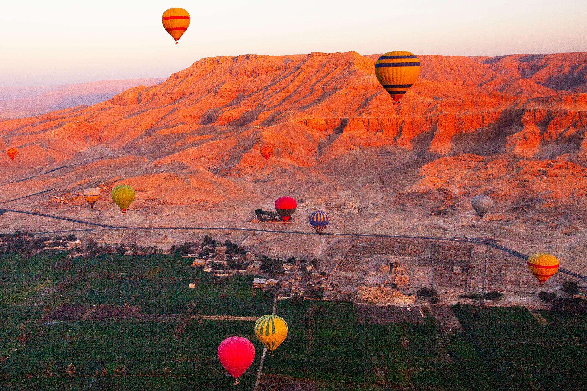
Sixty kilometres south of Minya the green strip along the east bank of the Nile stops and a bay of flat desert opens out, roughly ten kilometres north to south and five from the river to the cliffs. At first there is very little to look at: a modern village, a cemetery creeping across the sand, lines of low mudbrick stumps, a black road running north into nothing. That emptiness is the reason to come. You are standing inside a city that held perhaps thirty thousand people, was raised from bare ground in under a decade, and was abandoned within a generation.
It was Akhetaten, "the Horizon of the Aten", founded by the pharaoh Akhenaten around the fifth year of his reign and finished as a capital by about 1332 BC, when the court packed up and went back north. The modern name, Tell el-Amarna, conflates the village of el-Till with the Beni Amran, the local tribe. No ancient Egyptian ever called it that.
What makes Amarna extraordinary is not what stands up but what was never built on top of it. Other Egyptian cities were rebuilt for three thousand years; this one was occupied once and then left, so the plan of an entire ancient city lies a few centimetres under the sand.
At a Glance
Ancient name: Akhetaten, "the Horizon of the Aten"
Where: East bank of the Nile in Minya Governorate, between the villages of el-Till and el-Hagg Qandil
Distances: About 310 km south of Cairo, 60 km south of Minya, 75 km north of Asyut
Drive time: Roughly 4.5 to 5 hours from Cairo; about 1.5 hours from Minya
Built: Begun around Year 5 of Akhenaten's reign, complete by Year 9, occupied about fifteen years
Site ticket: 200 EGP (about 4 USD) for foreign visitors, with the Royal Tomb ticketed separately
Hours: 8am to 4pm according to the excavators; the Ministry price list says 8am to 5pm
Time needed: A full day, or two if you want the South Tombs as well
Getting around: Keep your vehicle all day. The site is far too large to walk.
Where Amarna Is and Why Akhenaten Built Here
Akhenaten's stated reason for choosing the spot was that nobody owned it. The boundary texts insist the land belonged to no god, no goddess, no ruler and no official, and that the Aten itself pointed it out. The geography helped: seen from the river, the gap in the eastern cliffs where the Royal Wadi cuts inland resembles the hieroglyph for horizon, a sun disc rising between two hills. It also sits midway between Memphis and Thebes.
The city ran discontinuously for about six kilometres along the river. The Central City held the Great Aten Temple, the Small Aten Temple, the Great Palace and the government offices; the dense housing of the Main City stretched 2.7 kilometres south, and the North Palace and North Riverside Palace, where the royal family probably lived, lay upstream.
The Religion That Built a City
Akhenaten came to the throne as Amenhotep IV, "Amun is satisfied". In his fifth regnal year he renamed himself Akhenaten, roughly "Effective for the Aten", and committed the state to a single visible god: the sun disc, drawn as a circle with rays ending in small hands. His reign dates are unsettled, with Egyptologists working from either 1353 to 1336 BC or 1351 to 1334 BC.
Whether this was the world's first monotheism is one of the field's longest arguments. Some read the Aten cult as genuinely monotheistic; others call it monolatry, henotheism or a syncretic solar theology, noting that Akhenaten's early inscriptions still name Atum, Osiris and Anubis. The political fallout is not in doubt: the temples of Amun at Karnak controlled enormous wealth and priestly power, and the new religion attacked that directly. For the pantheon he pushed aside, see our guide to the ancient Egyptian gods.
The art changed with it, dropping the timeless conventions of earlier work for elongated skulls, heavy thighs, slack bellies and intimate scenes of the king and queen with their daughters on their laps. Medical explanations for the royal physique, Marfan syndrome among them, have circulated for a century and none has held; most Egyptologists now read the style as a deliberate religious idiom.
The Boundary Stelae
Akhenaten did not just found the city, he legally fenced it. Fourteen boundary stelae are known, carved into cliffs on both banks and marking a territory roughly 20 to 25 kilometres across the valley and 13 kilometres north to south. Flinders Petrie catalogued them by letter in 1891 and 1892; Stela X was added in 1901 and Stela H only in 2006, which tells you how much of the site is still being worked out.
Two proclamations appear on them: an earlier one dated Year 5, on Stelae K, M and X, and a later one dated Year 6 and renewed in Year 8, carrying an oath never to extend the city beyond these markers. Stela U is the one to see, 7.6 metres tall with a royal statue group at its base, reached by staying on the road that runs from the North Tombs towards the Royal Wadi.
What Actually Survives Above Ground
Manage your expectations. The stone was carted away in antiquity and the mudbrick has largely melted, so most of the Central City reads as foundation lines. The Egypt Exploration Society's excavations of the 1930s, directed by John Pendlebury, exposed gypsum concrete foundations preserving the wall outlines of the Great Aten Temple, and since 2012 the Amarna Project has marked those outlines in fresh stonework so the plan is legible. That work is under pressure: the modern cemetery keeps expanding across the temple ground.
The North Palace is the most satisfying standing ruin, with its sunken garden court. The visitor centre at el-Till earns twenty minutes at the start of the day for its full-size walk-through replica of an Amarna official's house.
The Rock Tombs of Akhenaten's Officials
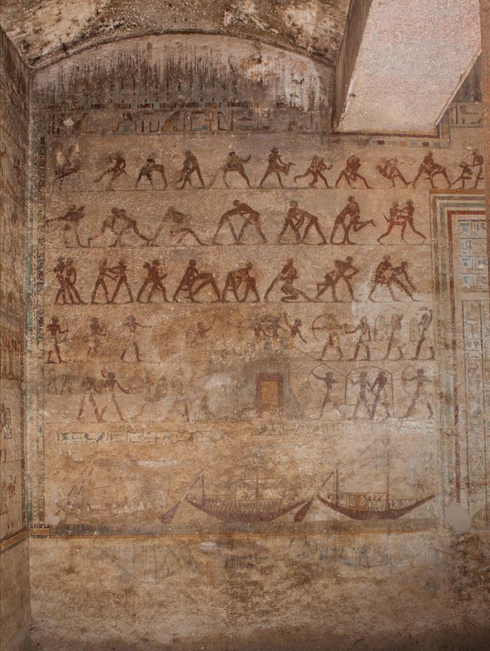
This is what most people come for. Two groups of rock tombs were cut for the court, north and south of the Royal Wadi, and their decoration is unlike anything else in Egyptian funerary art. Instead of the owner's journey through the underworld, the walls show the king: chariots racing through the streets, princesses riding out in their own vehicles, and the temples and palaces of the living city drawn in cutaway. They are the best evidence we have for what Akhetaten looked like in use.
The North Tombs, cut into cliffs about 85 metres high, are numbered 1 to 6 and belonged to Huya, overseer of the royal harim and treasuries; Meryra, High Priest of the Aten; Panehsy, chief servitor of the Aten temple; the scribes Meryra II and Ahmes; and Penthu, the chief physician. Iron doors protect them and a stepped path with benches serves the main group. Panehsy's Tomb 6 was later enlarged into a church, apse and all, by the Christian community living here in the fifth and sixth centuries AD.
The South Tombs, numbers 7 to 25, held a broader spread of officials, including Tutu the chamberlain and Mahu the chief of police; many are undecorated or unfinished. Tomb 25 belonged to Ay, later pharaoh himself, and carries the longest surviving version of the Great Hymn to the Aten. Its relationship to Psalm 104 is disputed: James Henry Breasted argued for direct influence, while Miriam Lichtheim and Mark S. Smith put the resemblance down to a shared genre of hymn-writing.
The Royal Tomb in the Wadi
The Royal Tomb, numbered 26, lies in a narrow side valley roughly six kilometres up the Royal Wadi. Local people found it in the 1880s, already plundered in antiquity. The limestone is poor, so the decoration was cut into gypsum plaster, most of which is gone. What survives best are the chambers of Princess Meketaten, including the mourning scene in which the royal family stands weeping over her body, an image with no parallel in Egyptian royal art.
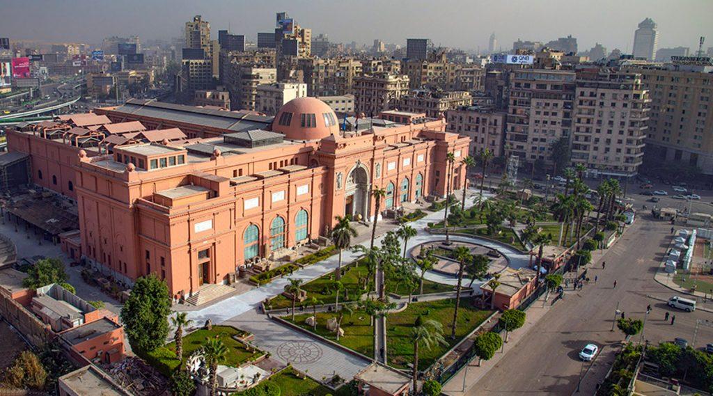
It was meant for Akhenaten, Meketaten and Queen Tiye, with an unfinished annexe often argued to have been intended for Nefertiti. Fragments of two granite sarcophagi and more than two hundred of Akhenaten's shabti figures are now in the Egyptian Museum in Cairo. A roof was built over the entrance in 2004 and 2005 to keep flood water out.
The People Who Built Akhetaten
Out in the low desert to the east sits the Workmen's Village, a walled settlement about 69 metres square with 72 small houses and a single narrow entrance. It had no well, so water was carried out from the Main City in jars. Pig pens with stone troughs and around twenty-three small painted chapels suggest a community that ate reasonably well and quietly kept up ancestor rituals having nothing to do with the Aten.
Excavations at the North Tombs Cemetery in 2015 and 2017 sampled roughly 231 individuals from a burial ground thought to hold 3,500 to 5,000 people. The great majority died between about 7 and 25 years of age, and the skeletons carry widespread signs of hard physical labour. Anna Stevens and Gretchen Dabbs read them provisionally as the workforce that built the city. There is nothing to see there, but it is the necessary counterweight to the sunlit family scenes on the tomb walls.
The Amarna Letters
Around 1887 a woman digging for sebakh, the decayed mudbrick Egyptian farmers used as fertiliser, turned up a cache of clay tablets in a building the excavators named the Bureau of Correspondence of Pharaoh. There are about 382 tablets and fragments, roughly 350 of them letters, in Akkadian cuneiform, the diplomatic language of the Late Bronze Age.
They span no more than thirty years in the middle of the fourteenth century BC, from Amenhotep III to Year 2 of Tutankhamun: correspondence with the kings of Babylon, Assyria, Mitanni, Hatti and Alashiya, plus increasingly desperate letters from Egypt's Canaanite vassals, notably Rib-Hadda of Byblos and Abdi-Heba of Jerusalem, complaining about the Habiru. They are scattered now, with around 200 in Berlin, 99 in the British Museum, roughly 50 in Cairo and 7 in the Louvre, which is one good reason to pair Amarna with an expert-led visit to the Egyptian Museum.
Nefertiti, the Succession and the Erasure
Nefertiti appears at Amarna almost twice as often as her husband in the early years, sometimes in poses reserved for kings. The painted limestone bust, 48 centimetres tall, was found on 6 December 1912 in the workshop of the sculptor Thutmose by Ludwig Borchardt's German expedition; the contested 1913 division of finds and Egypt's request for its return from Berlin are both still live.
Her later years were rewritten in 2012, when an inscription dated to Year 16 was published naming "the lady of the two lands Neferneferuaten-Nefertiti, living forever and ever", ending the old assumption that she vanished around Year 12. Aidan Dodson, Athena van der Perre and James Allen now favour identifying her with the female pharaoh Neferneferuaten who ruled briefly at the end of the period, alongside or instead of the shadowy Smenkhkare. Her burial has never been found. The Younger Lady from KV35 in the Valley of the Kings was proposed as Nefertiti in 2003, but DNA work identified her as Tutankhamun's mother; Nicholas Reeves's 2015 proposal that she lay behind a wall in Tutankhamun's tomb was tested by radar and not supported.
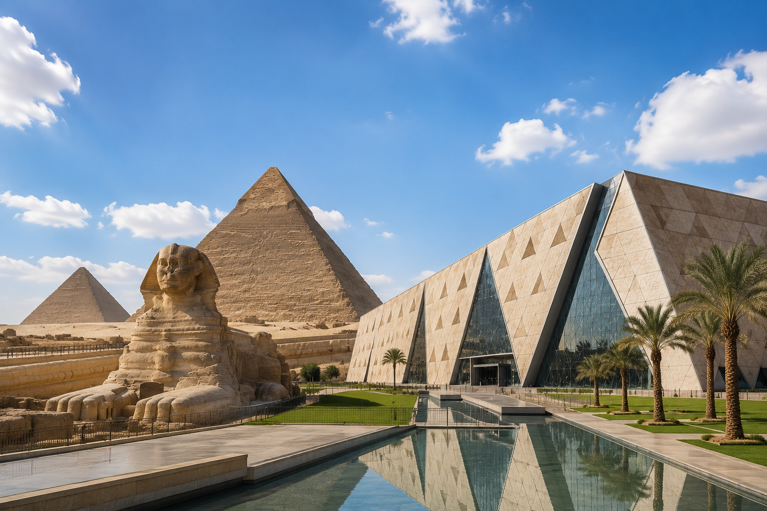
What followed was systematic. The court returned to Thebes, Tutankhaten became Tutankhamun, and under Horemheb the city was pulled down. Akhenaten's standardised blocks, the talatat, about 27 by 27 by 54 centimetres, were carted off as fill: Günther Roeder's excavations at el-Ashmunein, ancient Hermopolis across the river, recovered around 1,500 inscribed Amarna blocks from a pylon of Ramesses II. Akhenaten appears in no official king list, including the one carved for Seti I at Abydos, and a day trip to Abydos from Luxor makes that gap vivid. His successor's restoration is best followed through the burial treasures now in the Grand Egyptian Museum, which a combined Giza and GEM day covers.
Getting There, Tickets and Hours
From Cairo, take the Eastern Desert Highway south, turn off for Mallawi and head west towards the Nile; the Amarna entrance is on the left just before the bridge. From the west bank, cross the Nile bridge between Deir Mawas and Mallawi and turn right immediately, or use the local ferry. Trains and buses reach both towns on the main Cairo to Aswan line, but you still need to hire a car at the station, so most travellers come by road with a driver. A guided Tell el-Amarna and Beni Hasan day tour handles the driver, the local permissions and the Egyptology in one go, which in Middle Egypt is worth more than it sounds.
Site ticket: 200 EGP for foreign adults and 100 EGP for students on the Ministry of Tourism and Antiquities list, roughly 4 USD at about 50 EGP to the dollar in August 2026
Royal Tomb: a separate 120 EGP, or 60 EGP for students
Nearby sites: Beni Hasan and Tuna el-Gebel are each around 200 EGP; the Mallawi Museum about 120 EGP
Hours: the Ministry list gives 8am to 5pm, the excavators say 8am to 4pm, so plan around the earlier closing
Escorts: a police escort is common practice for foreign visitors in Minya Governorate, usually arranged locally rather than in advance
Facilities: a rest house near the ticket office sells drinks, with toilets there and at the visitor centre, and nothing else
Prices are revised upward regularly, and the same list showed 150 EGP a couple of years earlier, so treat these as a floor and carry cash. There are no hotels at the site; Minya, 1.5 hours north, has the widest choice.
Insider Tip: Keep the Car and Work North to South
Do not dismiss the advice to hold on to your vehicle; the excavators put it plainly and they are right. A workable day starts at the visitor centre in el-Till, then the North Tombs, then further along the same road to Boundary Stela U, doubling back for the Royal Wadi and finishing in the Central City and at the North Palace in the softer late light. Bring a torch, because the tomb interiors are dim and the Royal Tomb in particular swallows light. Small notes for the custodians who open the iron doors are customary.
Warning: Distance, Heat and Water
Amarna is ten kilometres long, has almost no shade, and puts several kilometres of unpaved track between you and the nearest tap. Minya's mean daily maximum runs around 36.8C (98F) in June, 37.0C (99F) in July and 36.9C (98F) in August, and the desert bay traps the heat. Carry far more water than you expect to need, at least three litres per person in summer, plus a hat and proper sun cover. The Royal Wadi is a flood channel, which is precisely why that roof was built over the tomb entrance; on the rare days when rain threatens, stay out of it.
When to Go, and How to Plan the Day
November to March is the sensible window. Mean highs in Minya sit near 20C (68F) in January and 21C (70F) in December, with a comfortable 26C (79F) in November, and mornings are genuinely cold, with January lows around 5.5C (42F), so pack a fleece for the early start. April and October work at the margins; from May to September the open desert is punishing, and our month-by-month weather guide shows how the rest of the country compares.
The most rewarding approach is to stop overnight in Minya and give the region two days: Amarna on one, Beni Hasan and Tuna el-Gebel on the other. It also slots into an overland journey between Egypt's two great tourist poles, since a private road transfer from Cairo to Luxor passes within sight of the turnoff. Almost nobody does this, which is exactly the appeal. On most days you will have Akhenaten's horizon to yourself.