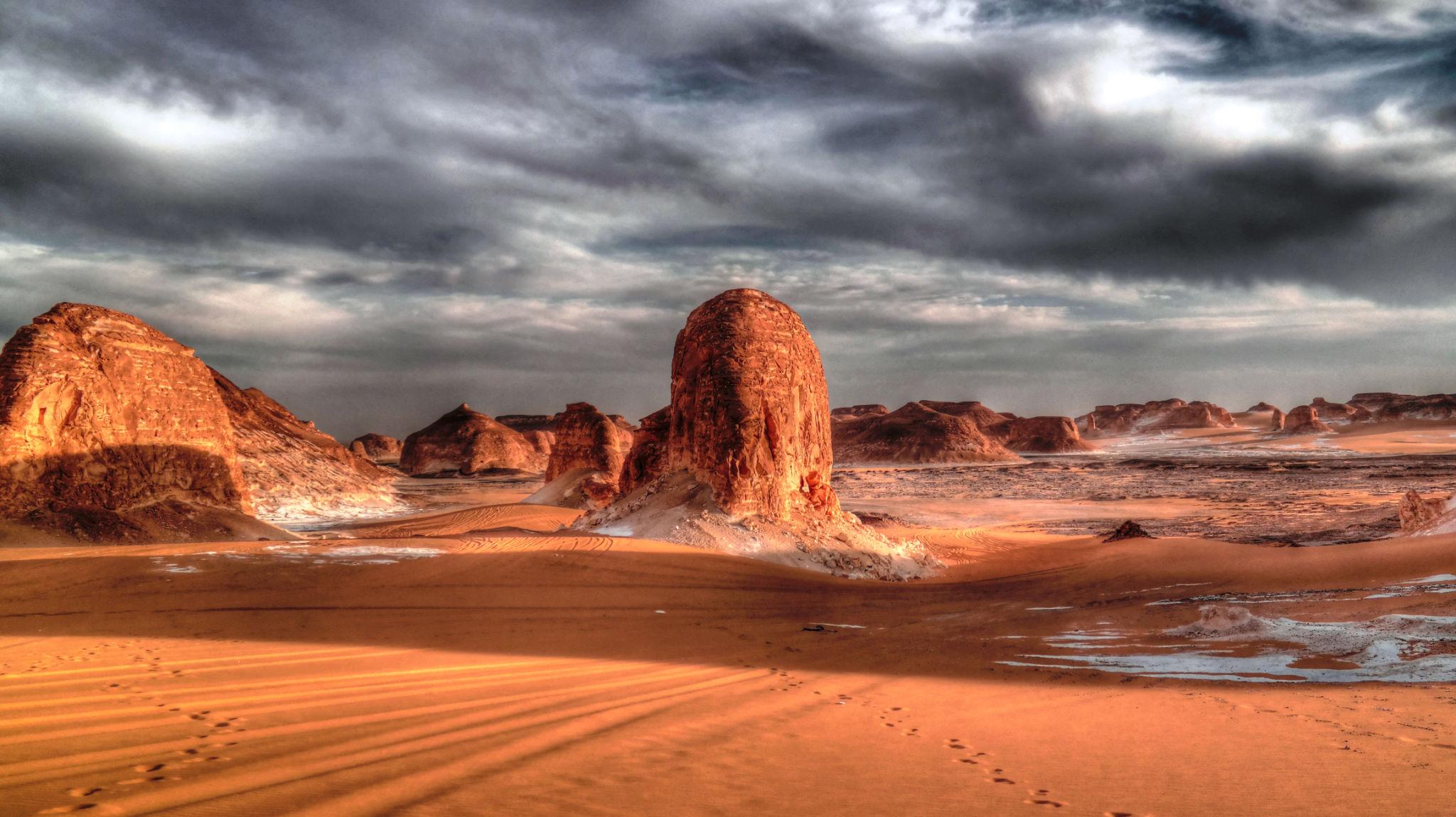
About fifty kilometres south of Marsa Alam, the coast road crosses the mouth of a valley wider than any before it. This is Wadi El Gemal, the Valley of the Camels: a corridor of gravel and sand that drains the Eastern Desert mountains into the Red Sea, scattered with umbrella-thorn acacias under which Ababda herders still graze their animals. Where it meets the shore the reef begins a few strokes out, and further south the coast breaks up into grey mangrove, sandbars and low islands where sooty falcons nest each autumn.
Since 2003 the valley, the coast and the sea in front of it have formed a single national park, now about 7,640 sq km (2,950 sq miles) on the Environmental Affairs Agency's current figures. It holds a Roman emerald-mining town with temples cut into the hillside, a resident pod of spinner dolphins, turtle nesting beaches and some of the most extensive mangroves on Egypt's coast. Very little of it has a fence, a café or a ticket booth, which is both the appeal and the complication.
This guide sets out what is there, how fees and access work as of autumn 2026, which parts need a 4WD and a local guide, and how to fit a day or two of the park into a Red Sea holiday.
At a Glance
Where: Red Sea coast south of Marsa Alam; the wadi mouth lies about 45 to 50 km south of town, Hamata roughly 110 to 130 km
Protected since: 2003, by Prime Ministerial Decree 143, amended in 2020
Area: about 7,640 sq km of desert, coast, reef and islands
Entrance fee: USD 5 per foreign visitor per day under the 2019 schedule, usually included in excursions, as of autumn 2026
Main sights: Qulaan mangroves, the Hamata islands, Sataya dolphin reef, Sharm El Luli and Ras Hankorab, the Wadi Sikait emerald mines
Getting around: the coast by car or boat; the interior only by 4WD with a licensed operator and local driver
Best months: October to November and March to April
Nearest airport: Marsa Alam International, well north of the town
Facilities: minimal or none; bring water, shade and small notes
What Wadi El Gemal Protects
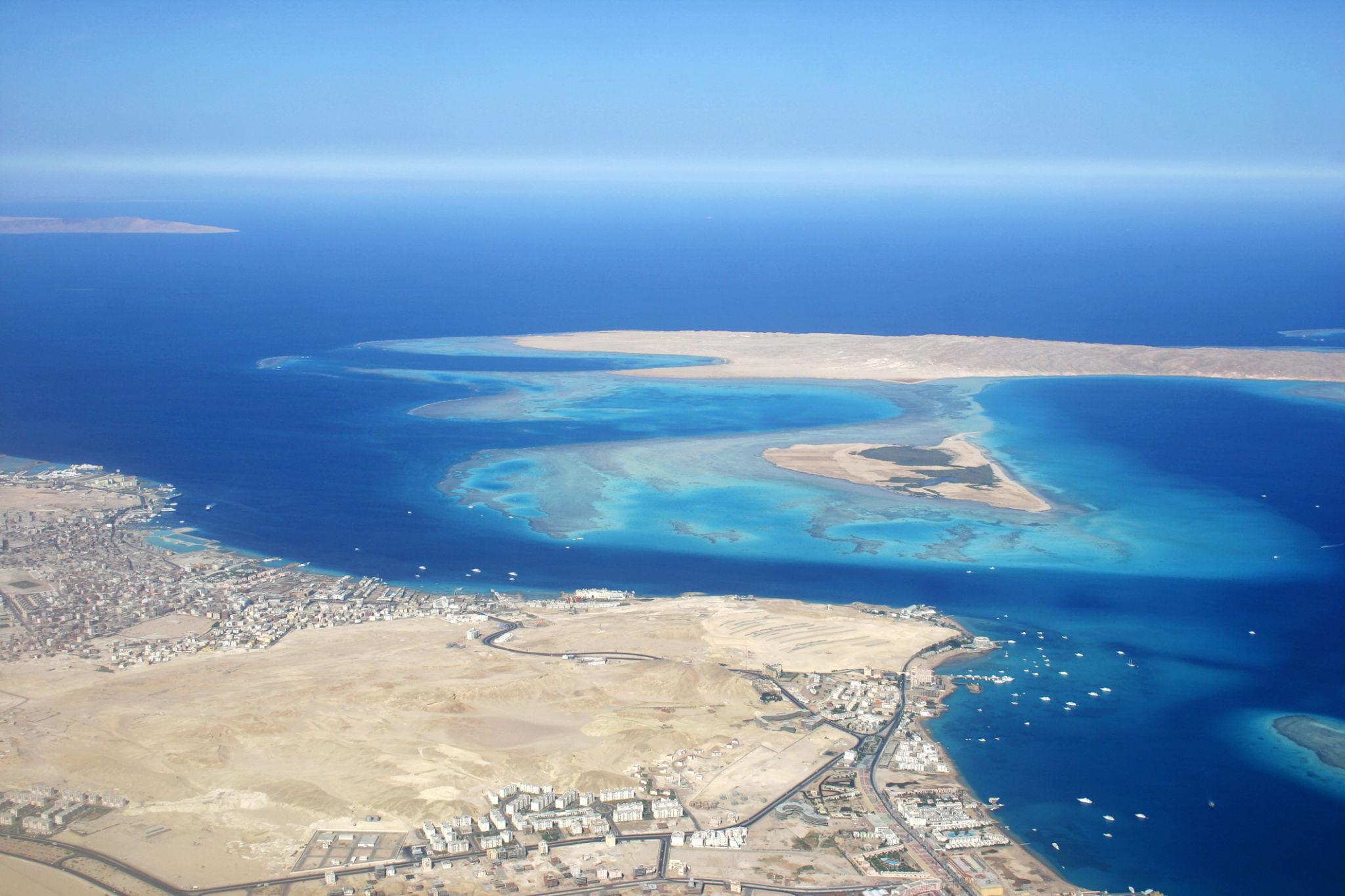
The park covers three landscapes at once. Inland are the main wadi and its tributaries, climbing west towards the mountains; along the shore are beaches, headlands and mangrove bays; offshore are fringing reefs, seagrass meadows and islands, from Wadi El Gemal Island near the valley mouth to the Hamata group far to the south. In 2003 Egypt also placed Wadi Gemal on its UNESCO Tentative List, with Wadi Qena and Wadi Allaqi, as part of a proposed Desert Wadis nomination.
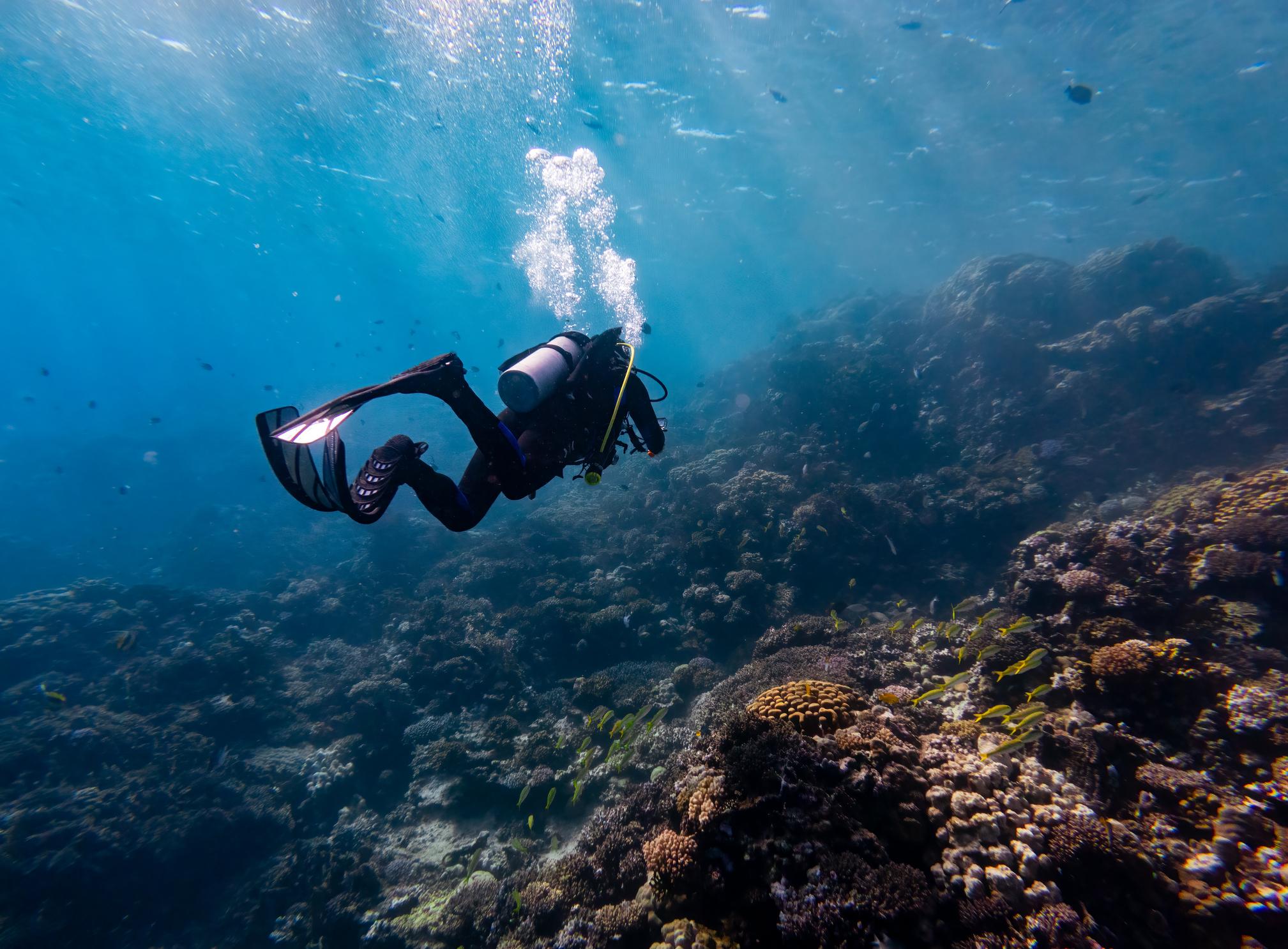
Park literature cites around 450 species of coral and more than 1,200 of fish, with dugongs and green turtles grazing the seagrass. Treat those as Red Sea-wide numbers rather than a census of one reef, but the point stands: these reefs sit far from the diving pressure of Hurghada and Sharm el-Sheikh, and the Hurghada Environmental Protection and Conservation Association (HEPCA) has described them as among the world's more resilient to warming seas.
Most visitors meet the park as one beach or one snorkelling boat, and never realise it is the same protected area that holds a Roman mining town 50 km inland. Think of it as a region rather than a site. Our Marsa Alam travel guide covers the wider coast.
The Ababda, People of the Valley
The Ababda are usually counted among the Beja peoples of the Eastern Desert and Sudan, and historically ranged from the Nile around Qena to the Red Sea coast between Hurghada and Halayeb. Into the late nineteenth century many spoke a Beja language as well as Arabic; today Arabic is the everyday language, with a strong Sudanese colouring. Some families still herd goats and camels in the wadis, and many more work as drivers, guides and boatmen inside the park. In June 2026 Egypt's environment minister directed the park to develop community-based ecotourism with local families and private partners.
The ritual you are most likely to share is jabana: coffee roasted over coals, ground with ginger and poured from a round-bellied clay pot into small cups, usually in more than one round. It is not staged for visitors; it is simply how guests are treated. Accept at least one cup, take it with your right hand, and let your host set the pace. Our guide to Bedouin culture and desert hospitality covers etiquette that carries over well. Women from local families sell beaded jewellery at some beaches, and buying directly is one of the few ways visitor money reaches the people who live here.
Into the Wadi: Acacias, Gazelles and Ibex
Away from the sea the park looks barren for ten minutes and then stops looking barren at all. The valley floor is studded with umbrella-thorn acacia, whose flat crowns feed the camels; the desert date, Balanites aegyptiaca; and Salvadora persica, the toothbrush tree, whose twigs are still chewed as miswak. Doum palms appear where water lies near the surface.
The animals are harder to see. Dorcas gazelle, Nubian ibex and aoudad, the Barbary sheep, all live in the park, and a sighting depends on luck, an early start and a driver who knows where they drink. Jerboa tracks across the sand at first light, wheatears on the boulders and lizards on every warm rock are easier. Our guide to Egypt's desert wildlife explains how to watch without disturbing.
One plant to leave alone is Calotropis procera, the Sodom apple, a grey-green shrub with waxy leaves and balloon-like fruit. Its milky sap can seriously damage the eyes, so do not snap the stems.
Wadi Sikait and the Roman Emerald Mines
The archaeological reason to drive inland is Sikait, the main settlement of Mons Smaragdus, the Emerald Mountain described by Pliny the Elder and Claudius Ptolemy. The French mineralogist Frédéric Cailliaud rediscovered the workings around 1816 to 1817. The stones are beryl, and for much of the Roman period these were the only emerald mines in the empire, which makes the story that Cleopatra's emeralds came from here plausible rather than proven.
What survives is a mining town spread along the wadi for about half a kilometre, with 150 to 200 stone buildings, many still 3 to 4 metres high, and mine openings in the slopes around. The largest temple is cut partly into the mountainside. A smaller rock-cut shrine carries a Greek dedication from the reign of Gallienus, AD 260 to 268, recording that a man named Polyphantos dedicated it to Serapis, Isis and Apollo. Excavations since 2018 have reinterpreted the so-called administration building as a third temple and recorded the first inscription ever found inside an ancient emerald mine.
The earliest worker camp dates to the third century BC, but most of what stands is fifth-century, when Roman control was giving way to the Blemmyes, nomads from the south; one writer of the time noted that entering the mines required the Blemmye king's permission. For the stone-quarrying side of the same imperial network, read our post on the Roman quarries of the Eastern Desert.
Getting there is the expedition. The asphalt ends at the park entrance on the coast; from there it is roughly 45 to 50 km of desert track by 4WD, and a visit is a full day with a 7am start. There are no toilets, shade, water or visitor centre at the site.
Warning: The Interior Is Not for Self-Drive
The tracks to Sikait are rough and unmarked, and getting lost in desert heat is a genuine way to get into serious trouble. Inland visits should be made in a proper 4WD, booked through a licensed operator, with an experienced local driver. Expect checkpoints, carry your passport, and on some days a tourist police escort may be assigned.
Bring at least three litres of water per person, plus sun protection and food. Do not climb on walls, do not enter mine shafts, which are neither maintained nor safe, and do not pocket so much as a chip of beryl. Our guide to desert permits, heat and choosing an operator covers the questions worth asking before you book.
Qulaan and the Mangrove Coast
Around Hamata and Qulaan, the coast turns into something unusual for the Red Sea: shallow bays of grey mangrove, Avicennia marina, threaded with sandbars and channels of very clear, very pale water. One notably ancient tree in Qulaan bay has become a minor landmark. At low tide you can wade between the trees on firm sand; at higher water, a kayak or a mask shows young fish sheltering among the roots.
It is also the park's best birding. Herons, egrets, terns, sooty gulls and waders, including the striking black-and-white crab plover, work the flats, with migrants passing through in autumn. Bring reef shoes, because the sand turns to sharp coral rubble in places, and expect almost no shade.
Hamata Islands and the Dolphin Reef at Sataya
Offshore from Hamata lies the Qulaan archipelago, usually sold as the Hamata islands: four low islands, Siyal, Shawarit, Umm al-Shaykh and Mahabis, 3 to 7 km from the coast and ringed with shallow reef. Green turtles nest on Siyal from roughly May to November, and from late summer sooty falcons breed here, timing their nesting to feed their young on autumn's migrating songbirds before wintering in Madagascar. Landing on breeding islands is prohibited in the nesting season, so the birds are watched from the boat.
Sataya, properly Shaab Sataya and sold as Dolphin Reef, is a large horseshoe-shaped reef about two hours by boat from Hamata. A resident pod of spinner dolphins rests in its sheltered lagoon by day after feeding offshore at night. A HEPCA survey over roughly eighteen months counted groups of 23 to 112 animals, averaging 58, present on more than nine days in ten; calves are usually born in July and August.
Day trips leave Hamata around 6.30am and return in the late afternoon, priced by local operators at roughly 60 to 80 EUR (about 70 to 90 USD) including lunch, with the park ticket often charged on top. Overnight boats give you the lagoon in the quiet hours before the day boats arrive.
Insider Tip: Let the Dolphins Decide
Sataya's management plan divides the reef into zones. The areas where the dolphins spend most of their resting time are closed to everything except authorised research; snorkelling is allowed in neighbouring zones, and boats may anchor only at designated points.
In the water: no chasing, no diving down onto the pod, no touching and no splashing entries. Float quietly in the permitted zone and the dolphins often pass close of their own accord. A crew that drops swimmers on top of a resting group is breaking the rules. A float or vest is sensible for weaker swimmers, because Sataya is a long way from land.
Sharm El Luli and Ras Hankorab
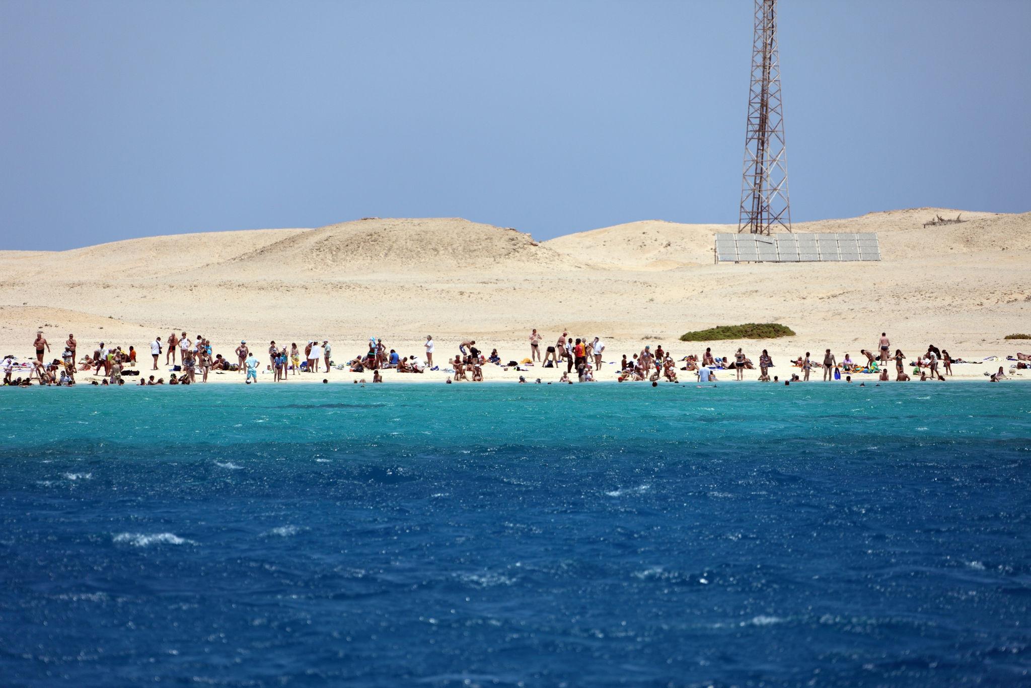
About 60 km south of Marsa Alam, two neighbouring bays give the park its postcard beaches. Sharm El Luli is a sheltered inlet of white sand and turquoise shallows; Ras Hankorab, about 7 km further south, is a headland with a lagoon and a reef close to shore. Ras Hankorab is also a green turtle nesting beach, which is why it became the centre of a public row in 2025.
That spring, machinery arrived to prepare tourist facilities under a private concession, and a campaign to save Ras Hankorab gathered thousands of signatures. The machinery was withdrawn and the plans went back for review, but the investor still talked of adding huts, so what you find may differ from what we describe. At the last reporting Ras Hankorab had a beach shack, about thirty umbrellas, a toilet block and snorkel hire, while Sharm El Luli has traditionally had almost nothing. Go early, when the water is usually flatter.
Wadi El Gemal Fees and Permits in 2026
Egypt's 2019 protectorate fee schedule, Ministerial Decision 204, set entry at USD 5 per foreign visitor per day and EGP 25 for Egyptians, with children under seven free, an extra vehicle charge and double rates after sunset; Wadi El Gemal is among the Marsa Alam areas it names. What people pay at the gate varies by site: in April 2025 a local elder told reporters that Ras Hankorab, once free, now cost him EGP 250, about USD 5 at the time. Older guides quote EGP 40 for foreigners at Qulaan and Hankorab, the rate introduced in 2017.
Boat trips from Hamata usually list the park ticket separately, at around 5 EUR, and land visits to Sikait have been quoted at EGP 200 per non-Egyptian. Two things may change this winter: in June 2026 the government pushed to speed up electronic booking of protectorate boat trips, and a fee increase for the separate Red Sea islands protectorates, which include the islands off Hurghada, has been postponed twice. Keep pounds in small notes, and ask any operator to confirm in writing whether the park fee is included.
Best Time to Visit Wadi El Gemal
Marsa Alam's long-term averages give January highs of about 24C (75F), nights near 13C (55F) and the sea around 23C (73F). July and August average 35 to 36C (95 to 97F) by day, with the sea at 28 to 29C (82 to 84F). October eases to about 33C (91F) and November to 29C (84F).
For the interior, October to April is the sensible window: the valley holds heat far longer than the shore. For the sea, summer brings the warmest water and the most dependable dolphins at Sataya, while winter's stronger northerlies can cancel boat days. In February and March the sea drops to around 22C (72F), and most snorkellers want a wetsuit. The best compromise for doing both is late October to November, or March to April; birdwatchers should lean towards autumn.
Good to Know: Leaving It as You Found It
- Wear a long-sleeved rash vest rather than slathering on sunscreen, and never stand on coral
- Keep off turtle nesting beaches at night unless a ranger is with you, and never use torches or flash near turtles
- Take every scrap of rubbish out with you; most beaches have no bins
- Do not feed fish, dolphins or any other wildlife
- Choose boats that use the fixed moorings rather than anchoring on reef
- Ask before photographing people, particularly women
Building a Marsa Alam Stay Around the Park
The park rewards two or three days within a week on the coast far more than one rushed excursion. A pattern that works: one day on the Hamata islands or at Sataya, one full day inland to Sikait with a stop at Qulaan on the way back, and a slow morning at Sharm El Luli. Most Marsa Alam hotels sit well north of the park, so a base around Wadi Lahami and Hamata cuts an hour or more off each drive. Small eco-lodges and camps near the coast fill up from December to February.
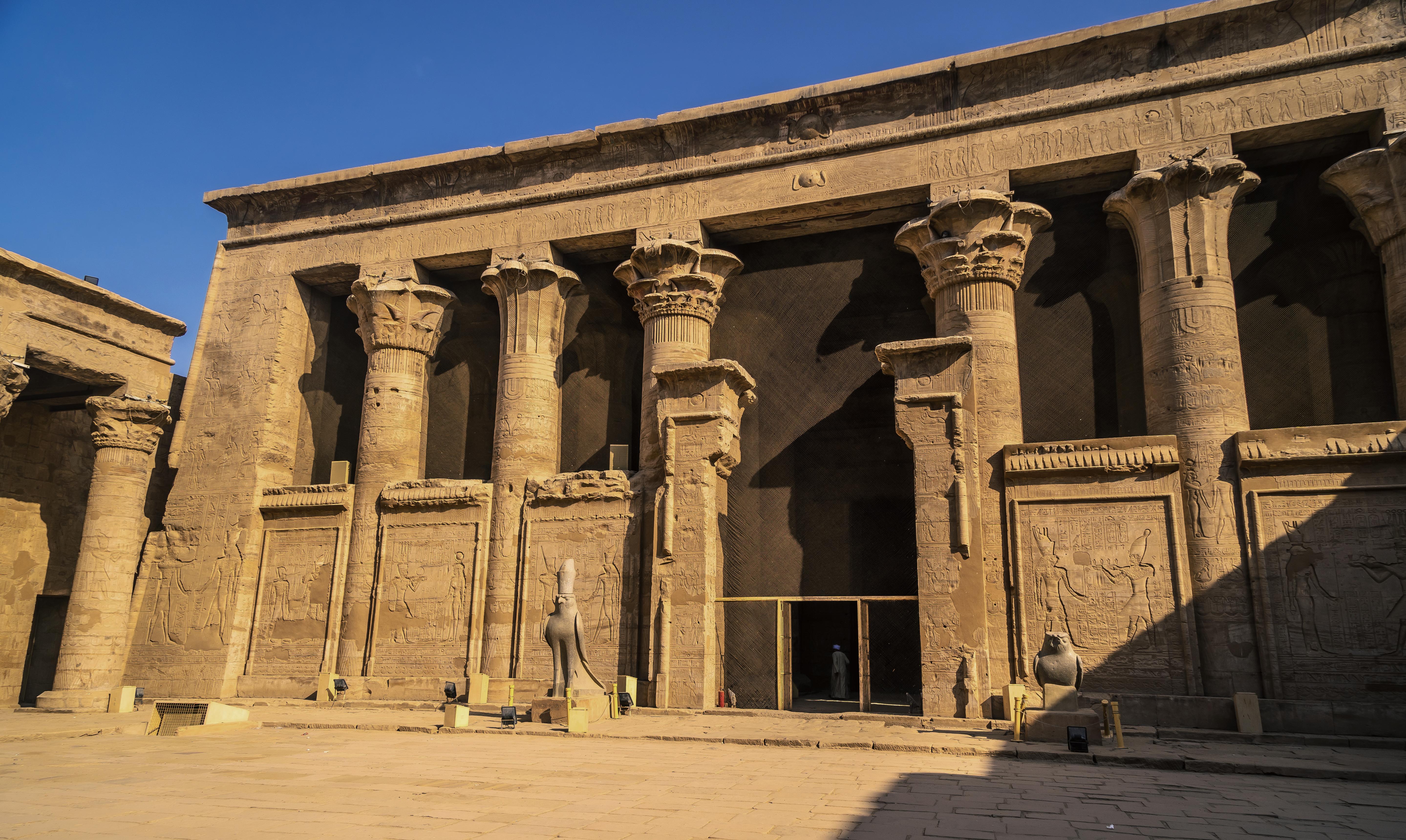
Arrival logistics matter more here than elsewhere on the Red Sea, because Marsa Alam International sits well north of the town and Ras Hankorab alone is about 90 minutes' drive from the terminal; a pre-booked Marsa Alam airport transfer takes the guesswork out of a late arrival. If your trip also takes in Hurghada, our supervised introductory dive there is a gentle first step, and our Red Sea diving and snorkelling guide explains the certification path. For a temple in the mix, the road west from Marsa Alam follows an ancient desert route to the Nile at Edfu Temple.
Tell us how many days you have, whether anyone is a nervous swimmer, and whether Sikait is a must or a maybe, and we can shape the rest. Get in touch whenever you are ready.